Caño Cristales: Serranía de la Macarena National Natural Park (Colombia)
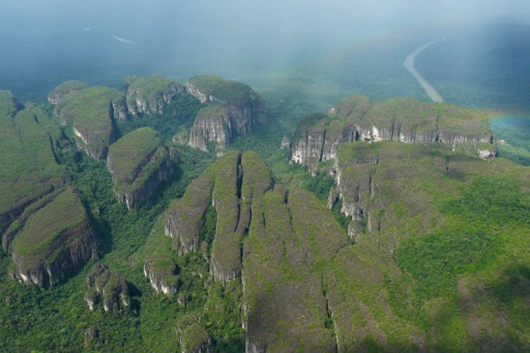
Caño Cristales is a river in Colombia's Serranía de la Macarena, known for the striking colors that occur in its waters. Serranía de la Macarena National Natural Park, one of Colombia's best-protected, is at the confluence point of the Orinoco Basin, Guiana Shield, Amazon Rainforest, and Andean ecosystems.
Caño Cristales
Caño Cristales ("Crystal Channel") is a river located in Colombia's Serranía de la Macarena, within the municipality of the same name, in the department of Meta. It is known for the striking colors that occur in its waters from the end of July through November.
Caño Cristales is a tributary of the Guayabero River, part of the Orinoco Basin. Rising on the southern plateau of the Serranía de La Macarena, the river does not exceed 20 m (65 ft) in width; however, it is over 100 km (62 mi) in length. In its upper reaches, it has three branches that join to form the Caño Cristales proper.
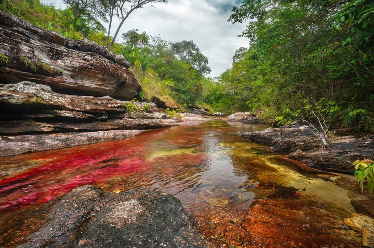
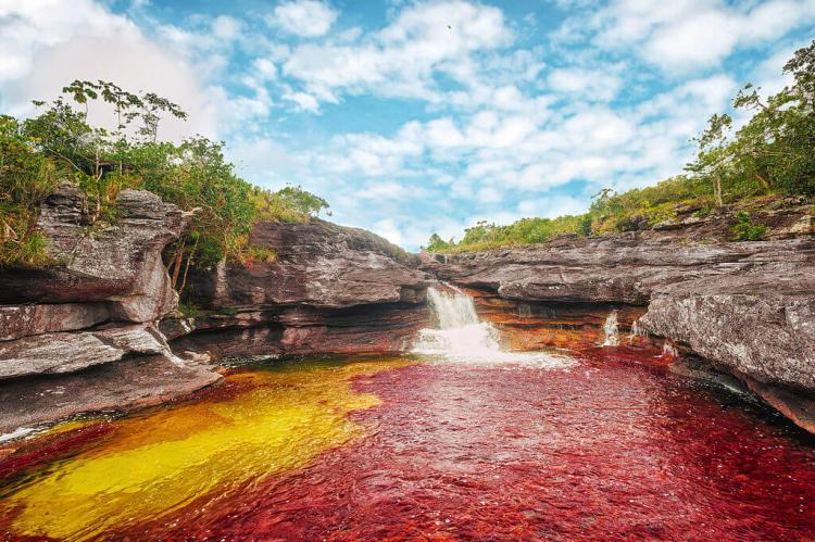
Caño Cristales is called the "River of Five Colors" or the "Liquid Rainbow." It is known for the striking colors that occur in its waters from the end of July through November.
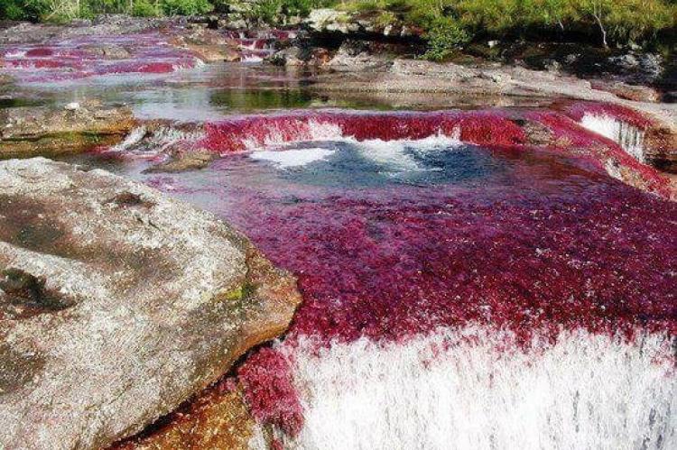
Its waters are colored yellow, green, blue, black, and especially red. The red color is caused by the riverbed plant Macarenia clavigera (Podostemaceae). These red plants adhere tightly to rocks in places where the river has a faster current.
Crystal clear water, colorful sand and a wide variety of other plants with varying hues, in addition to the red MacareColombia'sera aquatic plant, have given the Caño Cristales the reputation of Colombia's most beautiful river.
Serranía de la Macarena National Natural Park
The Serranía de la Macarena National Natural Park, one of Colombia's best protected, surrounds the isolated mountain range of the same name. The protected area is approximately 6,200 sq km (2,400 sq mi).
The Serranía de la Macarena is approximately 120 km (75 mi) long and 30 km (19 mi) wide, located in Colombia's Meta Department. It was named after the "Virgin of Hope of Macarena."
The Serranía de la Macarena is orientated from north to south and is separated by 40 km (25 mi) at its northern extreme from the Cordillera Oriental. Its highest peak is El Gobernador at 2,615 m (8,579 ft) asl.
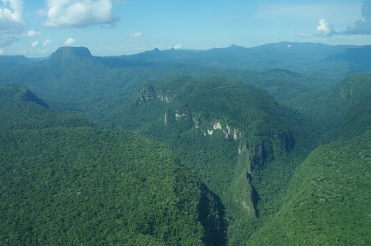
Located at the confluence point of various ecosystems, Serranía de la Macarena National Natural Park brings together the biotopes specific to the Orinoco Basin, the Guiana Shield, the Amazon Rainforest, and the Andean mountain regions.
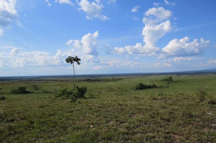
The surrounding landscape is quite dry and rocky, covered with the unusual Vellozia macarenensis plant, which has evolved to survive the dry climate and accompanying bushfires.
Biodiversity
Serranía de la Macarena National Natural Park has a tropical climate, and temperatures range from 5.5 ° C (42 ° F) to 31 ° C (88 ° F). This climate supports a high level of biodiversity, with numerous endemic and rare species.
The ecosystems found within the park include rainforest, dry forest, shrubland, and savanna. The mountains are home to around 50 known species of orchids, and botanists studying the area have identified more than 2,400 other species of plants.
Fauna includes anteaters, jaguars, cougars, deer, eight species of monkeys, 500 species of birds (including the gray-legged tinamou), 1,200 species of insects, and 100 species of reptiles.
