Landforms of the Caribbean

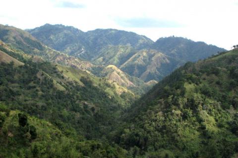
The Blue and John Crow Mountains: A Natural and Cultural Jewel of Jamaica

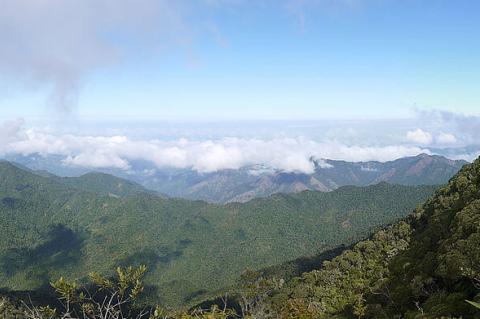
Jamaica's Blue and John Crow Mountains encompass a rich cultural and natural heritage mosaic. They served as a refuge for indigenous peoples and, later, the Maroons. This UNESCO World Heritage Site and National Park boasts exceptional biodiversity, with unique plant and animal species in its montane rainforests. Conservation efforts protect this ecologically significant area, preserving its beauty and cultural legacy for future generations.

The Caribbean Plate: A Mosaic of Tectonic Complexity

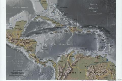
The Caribbean Plate, a predominantly oceanic tectonic plate, extends its influence beneath Central America and the Caribbean Sea off South America's northern coast. This expansive plate interconnects with the North American Plate, South American Plate, Nazca Plate, and Cocos Plate, creating a mosaic of seismic activity, including earthquakes, tsunamis, and volcanic eruptions.

The Cayman Trench and Cayman Ridge: Exploring the Depth

The Caribbean Sea contains a remarkable feature beneath its surface, known as the Cayman Trench and the Cayman Ridge. The Cayman Trench is a submarine trench on the floor of the western Caribbean Sea between Jamaica and the southeastern tip of Cuba. The Cayman Ridge is an undersea mountain range on the northern margin of the Cayman Trough and includes the Cayman Islands.

The Cordillera Central and Pico Duarte: Guardians of Hispaniola's Natural Heritage

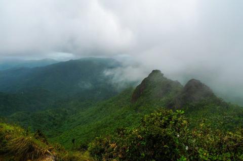
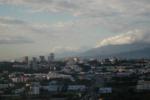
The Cordillera Central, stretching across the central part of Hispaniola, defines the Dominican Republic's landscape, influencing its terrain, climate, and biodiversity. Its rugged peaks and verdant valleys showcase the island's diverse natural heritage. Pico Duarte, the highest summit in the country, stands as an icon within this breathtaking landscape. Similarly, José Armando Bermúdez National Park reflects the nation's dedication to preserving its environmental legacy.

The Cordillera Septentrional: Dominican Republic's Northern Mountain Range

The Cordillera Septentrional, also known as the Northern Mountain Range, is a prominent geological and cultural feature in the Dominican Republic, shaping the landscape and livelihoods of those residing there. This mountain range, stretching in a northwest-southeast direction parallel to the northern coast, boasts rugged terrain characterized by steep slopes and lush valleys. The range is known for its rich biodiversity and is an important water source.

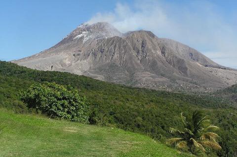
The Explosive History and Unique Ecology of La Soufrière Volcano

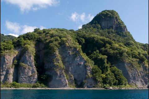
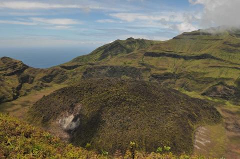
La Soufrière is an active stratovolcano on the island of Saint Vincent, the largest within the Saint Vincent and the Grenadines archipelago in the southeastern Caribbean Sea. Situated within the geologically active Lesser Antilles volcanic arc, La Soufrière is the highest point on the island and the highest in the nation. The volcano is known for its long and dynamic eruptive history, with 23 recorded eruptions in the past 4,000 years.

The Lesser Antilles Volcanic Arc and Subduction Zone: Unlocking the Mysteries

The Lesser Antilles Volcanic Arc is a chain of volcanic islands stretching from the Virgin Islands to Grenada in the eastern Caribbean Sea. It is formed by the subduction of the North American Plate beneath the Caribbean Plate, which creates the volcanoes that make up the islands. This volcanic arc contributes to the shaping of the Caribbean Sea, along with other geological forces.

The Lesser Antilles: Exploring the Enchanting Diversity of the Caribbean Archipelago

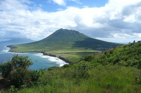
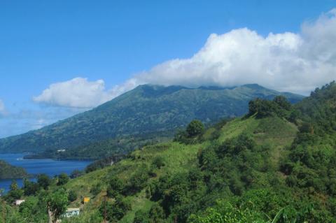
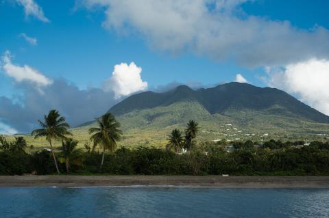
Nestled in the heart of the Caribbean Sea, the Lesser Antilles form a captivating island chain that stretches between the Greater Antilles and the South American continent. Comprising a mix of volcanic and non-volcanic islands, the Lesser Antilles boast stunning landscapes, rich cultural heritage, and unique ecosystems that beckon travelers and researchers alike.