Landforms of Honduras

Gulf of Fonseca: Nature, Geopolitics, Sustainability

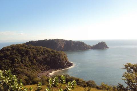
The Gulf of Fonseca, located between El Salvador, Honduras, and Nicaragua, boasts notable islands and is a biodiversity hotspot featuring mangrove swamps, wetlands, and various climatic zones. Despite territorial disputes and international resolutions, the Gulf is a testament to the balance between environmental preservation, geopolitical cooperation, and sustainable practices.

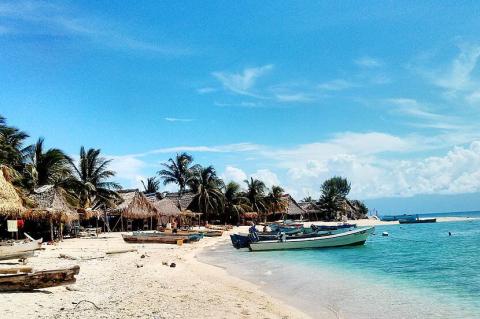
Roatán and the Bay Islands: Jewels of the Gulf of Honduras

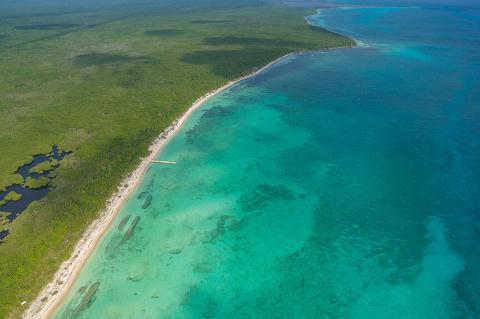
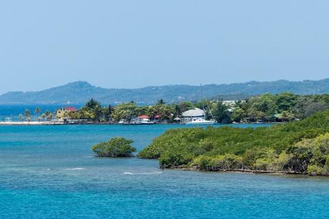
Nestled within the captivating Gulf of Honduras, a wide inlet of the Caribbean Sea, lies a tropical paradise – the Bay Islands. Among these islands, Roatán stands out as a jewel, renowned for its breathtaking beauty and rich natural heritage. This region, indenting the coasts of Honduras, Guatemala, and Belize, is a treasure trove of natural wonders, boasting a unique ecosystem with a diverse array of coastal marine waters, including estuaries, barrier beaches, lagoons, salt marshes, mangrove forests, seagrass beds, keys, and barrier reefs.

The Central America Volcanic Arc: A Geological Marvel

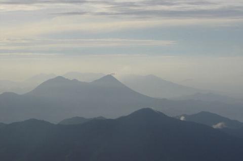
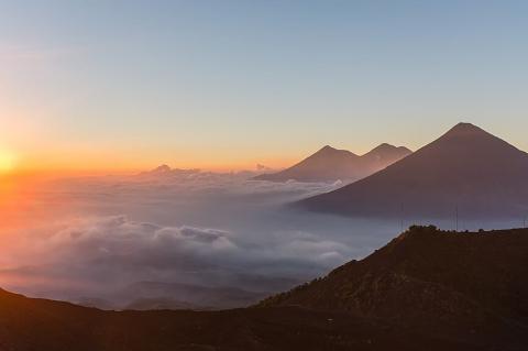
The Central America Volcanic Arc, also known as the Central Volcanic Range, is a mesmerizing chain of volcanic formations spanning from Guatemala to northern Panama. These volcanic formations range from major stratovolcanoes to lava domes and cinder cones. The volcanic arc unfolds parallel to the Pacific coastline of the Central American Isthmus, offering insight into the dynamic forces shaping the region.