Cocos Island: Cocos Island National Park (Costa Rica)
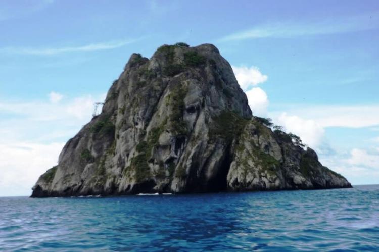
Cocos Island lies off the Pacific coast of Costa Rica and is the only island in the tropical eastern Pacific with a tropical rainforest. Surrounded by deep waters with counter-currents, Cocos Island National Park is admired by scuba divers for its populations of large marine species.
Cocos Island
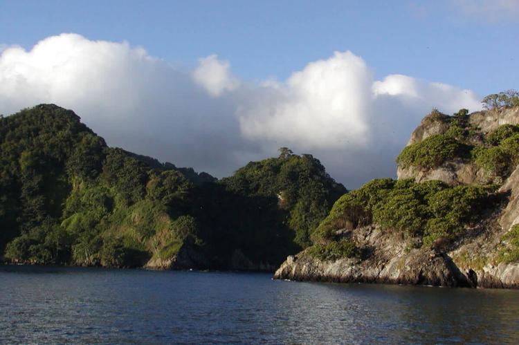
Cocos Island (Isla del Coco) is a Pacific island of volcanic origin, lying approximately 480 km (300 miles) south of the Osa Peninsula, Costa Rica. It rises to about 850 m (2,800 ft) above sea level. The island is about 8 km) (5 mi) long and 5 km (3 mi) wide, with a total area of 24 square km (9 sq mi).
It is the only emergent island of the Cocos tectonic plate and is geologically part of the Cocos Ridge, related to the Galápagos Islands to the south. Like the Galápagos, the island is a virtual repository of species unique to the island.
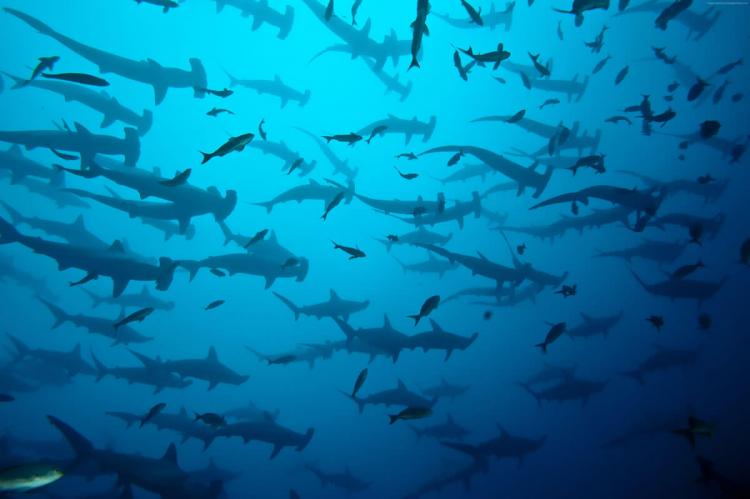
Surrounded by deep waters with counter-currents, Cocos Island is admired by scuba divers for its populations of hammerhead sharks, rays, dolphins, and other large marine species.
Cocos Island is an oceanic island of both volcanic and tectonic origin. It is the only emergent island of the Cocos Plate, composed primarily of basalt, formed by cooling lava.
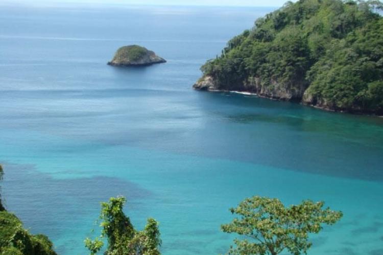
The island has many short rivers and streams that drain abundant rainfall into four bays, three on the north side (Wafer, Chatham, and Weston).
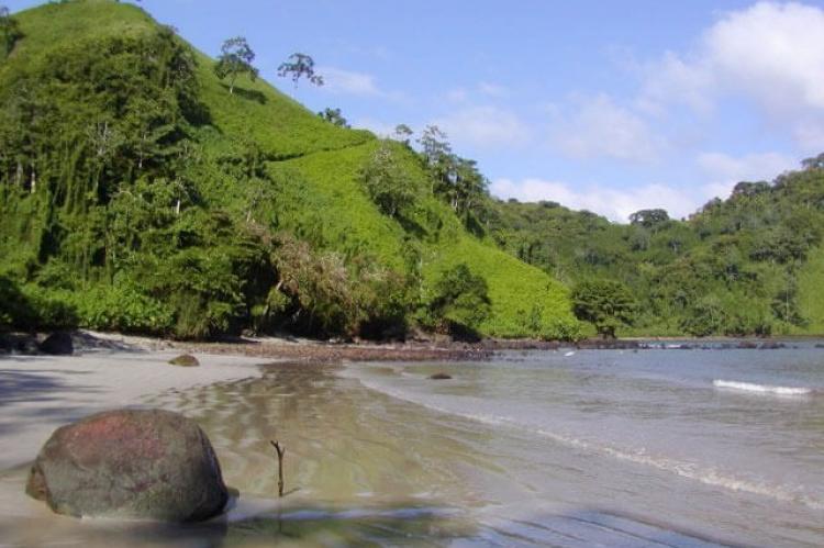
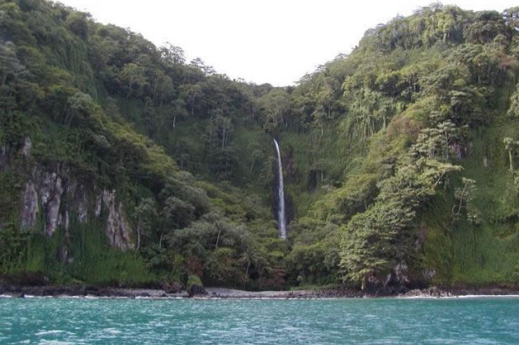
The largest rivers are the Genio and the Pittier, which drain their water into Wafer Bay. Sheer, 90 m (300 ft) cliffs ring much of the island, preventing convenient access except at a few beaches.
The climate of Cocos Island is mainly determined by the latitudinal movement of the Intertropical Convergence Zone, which creates cloudiness and constant precipitation throughout the year. This makes the climate humid and tropical, with an average annual temperature of 26°C (80°F) and an average yearly rainfall of over 7,000 mm (276 in). Rainfall remains high throughout the year.
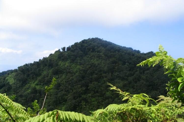
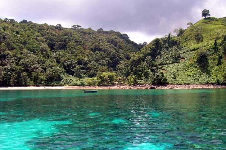
Cocos Island is home to dense tropical moist forests. It is the only oceanic island in the eastern Pacific region with such rainforests and their characteristic flora and fauna.
The cloud forests present at its higher elevations are also unique in the eastern Pacific. The island was never linked to a continent, so flora and fauna arrived via long-distance dispersal from the Americas. Therefore, the island has a high proportion of endemic species.
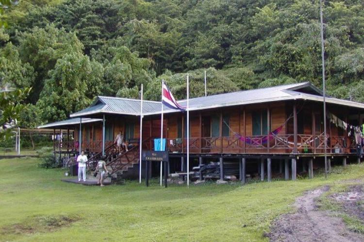
In 1982, the island was designated Cocos Island National Park and became a UNESCO World Heritage site in 1997. However, it has no permanent inhabitants other than Costa Rican park rangers.
{"preview_thumbnail":"/sites/default/files/styles/video_embed_wysiwyg_preview/public/video_thumbnails/168470068.jpg?itok=WROxv-77","video_url":"https://vimeo.com/168470068","settings":{"responsive":1,"width":"854","height":"480","autoplay":0},"settings_summary":["Embedded Video (Responsive)."]}
Cocos Island National Park
Cocos Island National Park is located in the Eastern Tropical Pacific, covering an area of 202,100 ha (499,400 acres). "Isla del Coco," also known as "Treasure Island," is the only landmark of the vast submarine Cocos Range.
With a surface area of 2,400 ha (5,930 acres), this World Heritage Site supports the only humid tropical forest on an oceanic island in the Eastern Tropical Pacific. The remaining 199,700 ha (493,470 acres) protect diverse marine ecosystems and the most diverse coral reefs of the entire Eastern Tropical Pacific.
Thanks to its remote location and conservation efforts, this biologically highly diverse World Heritage site constitutes one of the best conserved marine tropical waters. It is well-known as a world-class diving destination.
The island belongs to the Eastern Tropical Pacific Marine Corridor, a marine conservation network that includes World Heritage properties in Colombia, Ecuador, and Panama.
Natural population densities of large top predators indicate a near pristine conservation status of a property that is among the most critical sites in the Eastern Tropical Pacific for protecting large pelagic migratory species, such as the endangered Scalloped Hammerhead Shark and the near-threatened Silky Shark and Galapagos Shark.
Due to its geographical position, the oceanic island of volcanic origin is the first landmark met by the North Equatorial Counter Current and a confluence point of other marine currents. This makes it a dispersing center of larvae of marine species from various parts of the Pacific Ocean.
The property hosts remarkable endemism across its land portion's most diverse taxonomic groups. There are, for instance, three endemic bird species, two endemic freshwater fish, and two endemic reptile species.
Cocos Island National Park is of irreplaceable global conservation value, reminding us what parts of tropical oceans historically looked like.
{"preview_thumbnail":"/sites/default/files/styles/video_embed_wysiwyg_preview/public/video_thumbnails/27478869.jpg?itok=BWTH3Gjw","video_url":"https://vimeo.com/27478869","settings":{"responsive":1,"width":"854","height":"480","autoplay":0},"settings_summary":["Embedded Video (Responsive)."]}
