Cinturón Andino Biosphere Reserve and Protected Areas (Colombia)
The Cinturón Andino Biosphere Reserve is located at the Macizo Colombiano in the Andes of southern Colombia. It comprises three National Parks: the Cueva de los Guácharos National Park, the Puracé National Park, and the Nevado del Huila National Park.
Cinturón Andino Biosphere Reserve
The Cinturón Andino Biosphere Reserve is located at the Macizo Colombiano, or Colombian Massif, in the Andes Mountains of southern Colombia. Its surface area is 175,300 ha (433,175 acres).
Cinturón Andino comprises three National Parks: the Cueva de los Guácharos National Park, the Puracé National Park, and the Nevado del Huila National Park.
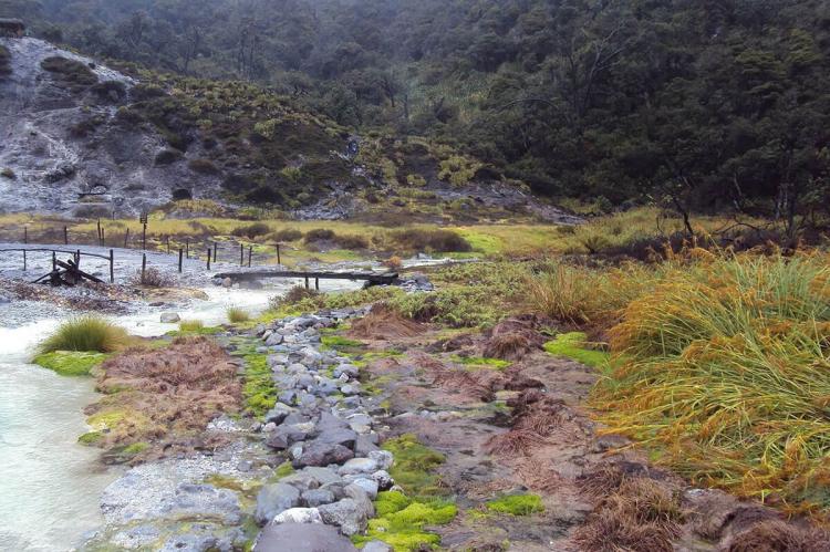
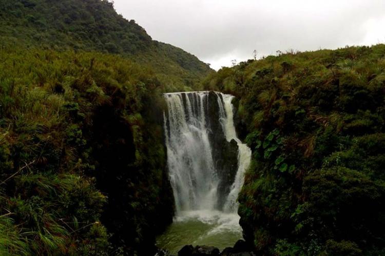
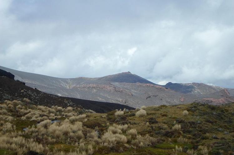
The volcanic chain of Purace's National Park includes seven craters, with sources of thermal waters, 30 lagoons and waterfalls, as well as the river heads of the Magdalena, Cauca, and Caquetá rivers.
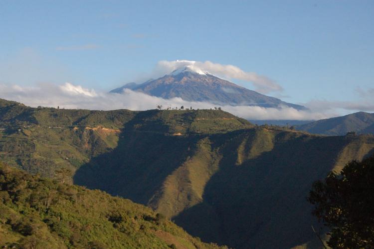
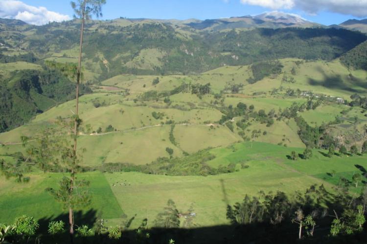
The relief is sloped, covered by humid and cloud forests and includes the snowy peaks of the Nevado del Huila National Park that rise to a height of 5,750 m (18,864 ft) above sea level.
Vegetation ranges from cloud forests to high barren plains. The park is especially rich in birds, such as the condor (Vultur gryphus), which is the Colombian national emblem, the real eagle (Accipiter collaris) and the danta (Tapirus pinchaque).
Eight ethnic groups (Guambianos, Paeces, Yanconas, Kokonucos, Polindaras, Totares e Ingas), with their own culture and traditional practices, live in the Andean belt.
Cueva de los Guácharos National Park
Cueva de Los Guácharos National Park is the oldest national park in Colombia. It comprises complex and unique geological formations and caves formed from the karstic zones of the Magdalena and Caquetá rivers. The relief is sloped and covered by humid forests and cloud forests.
Located in the western face of the Colombian Eastern Andean Range in the departments of Huila and Caquetá, the park covers an area of 9,000 ha (22,240 acres). It is intended to protect the cloud forest and páramo ecosystems.
This area hosts one of the last intact oak forests in the country, with the native oak species Quercus humboldtii (Bonpl.) and Trigonobalanus excelsa.
Nevado del Huila National Park
Nevado del Huila National Park's snowy peaks rise to 5,750 m (18,864 ft) above sea level. The Nevado del Huila is the highest volcano in Colombia and is visible from the city of Cali.
Vegetation ranges from sub hygrophyte to snow levels, including cloud forests and high barren plains. The park is especially rich in birds, such as the condor (Vultur gryphus), the Colombian national emblem, the real eagle (Accipiter collaris) and the danta (Tapirus pinchaque).
Puracé National Natural Park
Puracé National Natural Park is located in the Andean Region of Colombia, southeast of Popayán in the Cordillera Central range. The park includes seven craters, with sources of thermal waters, 30 lagoons and waterfalls.
Its main feature is the active stratovolcano Puracé. It is part of the Northern Andean Volcanic Belt. Four of the country's most important rivers originate within the area: Magdalena River, Cauca River, Japurá River, and Patía River.
Over 200 orchids and nationally threatened species, such as the Colombian Pine, Andean Oak, and Wax palm tree, are found in the park. In addition, it is home to over 160 species of birds, of which hummingbirds, ducks and birds of prey are the most dominant.
Several mammals are found in the park: spectacled bear mountain tapir, cougar pudú, and the Andean condor reintroduced in the 1990s. In addition, the lower elevation forests are home to four primates: woolly monkey, howler monkey, gray-bellied night monkey and tufted capuchin.
