The Pantanos de Centla: A Vital Biological Corridor in Southern Mexico
The Pantanos de Centla is a tropical moist forest region in southern Mexico, spanning the states of Tabasco and Campeche. This unique ecoregion is characterized by its year-round wetlands, freshwater swamp forests, and diverse ecosystems, including riparian habitats and moist forests.

The Pantanos de Centla: A Vital Biological Corridor in Southern Mexico
The Pantanos de Centla is a tropical moist forest region in southern Mexico, spanning the states of Tabasco and Campeche and serving as a biological corridor between them. This unique ecoregion is characterized by its year-round wetlands, freshwater swamp forests, and diverse ecosystems, including riparian habitats and moist forests.
Geographic Extent and Location
Covering an extensive area of approximately 17,200 square kilometers (6,600 square miles), the Pantanos de Centla is bordered by several other important ecoregions. To the north lie the Usumacinta mangroves, situated in the brackish-water zone between the Pantanos de Centla and the Gulf of Mexico. The Yucatan moist forests are to the east, while the Petén-Veracruz moist forests are to the west and south.
Biological Corridor
The Pantanos de Centla plays a crucial role as a biological corridor, facilitating the movement and migration of species between the states of Veracruz and southern Tabasco. This interconnectivity is vital for maintaining genetic diversity and promoting the long-term survival of various plant and animal species. It serves as a bridge, linking different ecosystem types such as flooded moist forests, temperate forests, cloud forests, wetlands, and riparian habitats. This diverse range of habitats supports a rich array of flora and fauna, enabling species to move between different areas and adapt to changing environmental conditions.
The biological corridor provided by the Pantanos de Centla allows for the dispersal and migration of various species. Migratory bird species find it an important stopover and nesting site. Larger mammals like jaguars and tapirs can move through the corridor, promoting genetic exchange between populations. Additionally, the interconnected habitats facilitate the movement of pollinators, crucial for maintaining plant biodiversity. By enabling the movement of species across different ecosystems, the Pantanos de Centla contributes to the overall resilience and adaptability of the region's biodiversity.
Climate and Environment
The Pantanos de Centla is known for its warm and humid climate, which is one of the warmest in Mexico. The region experiences an average annual temperature of 26.1°C (78.8°F) and abundant rainfall, with a yearly precipitation exceeding 2,000 mm (78 inches). The intense summer rainy season leads to extensive inundation of the swamp forests. The ecoregion is blessed with some of the most productive soils in the country, making it highly desirable for agricultural activities. However, this has led to widespread habitat destruction, with only an estimated 8% of the original habitat remaining intact.
Biodiversity
The Pantanos de Centla is renowned for its rich biodiversity, serving as a biological corridor between Veracruz and southern Tabasco. It encompasses a variety of ecosystem types, ranging from flooded moist forests to temperate and cloud forests. One of Mesoamerica's most important aquatic vascular floras is found in the ecoregion, with high species richness, although endemism is relatively low. Algae-based flora predominates in many areas. Notable animal species in the Pantanos de Centla include the Morelet crocodile (Crocodylus moreleti) and the alligator gar, also known as pejelagarto. This prehistoric fish has existed since the age of dinosaurs.
Conservation Efforts
In recognition of its ecological significance, part of the Pantanos de Centla was declared a Biosphere Reserve in 2006. This designation aims to protect the region's biodiversity and promote sustainable development practices within the ecoregion.
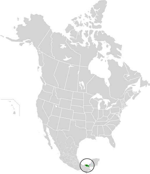
Map depicting the approximate area of the Pantanos de Centla ecoregion (in green).