San Pedro de Atacama (Chile)
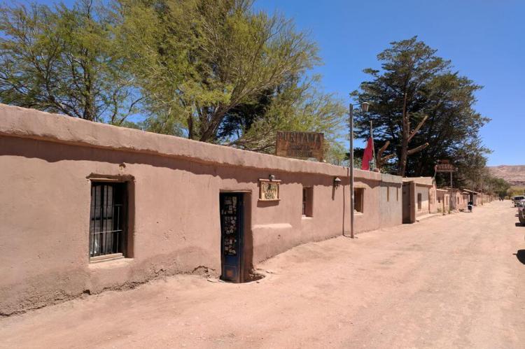
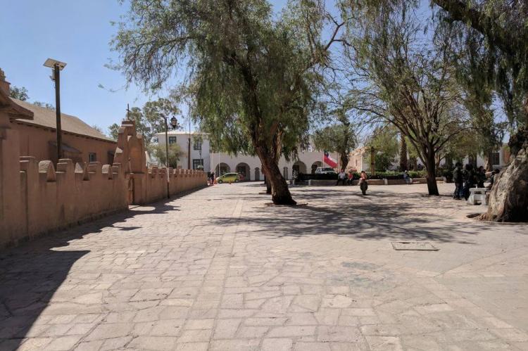
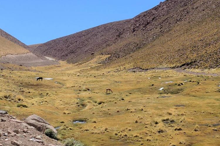
San Pedro de Atacama is a town and commune in the Antofagasta Region of northern Chile. The town grew, over centuries, around an oasis in the Puna de Atacama, an arid high plateau. It is popular with travelers due to its proximity to various cultural and natural sites.
San Pedro de Atacama
San Pedro de Atacama is a town and commune in El Loa Province, Antofagasta Region of northern Chile. The town is located about 100 km (60 mi) southeast of Calama and is overlooked by the Licancabur volcano on the Bolivian border. The town was part of Bolivia until Chile claimed ownership during the War of the Pacific.
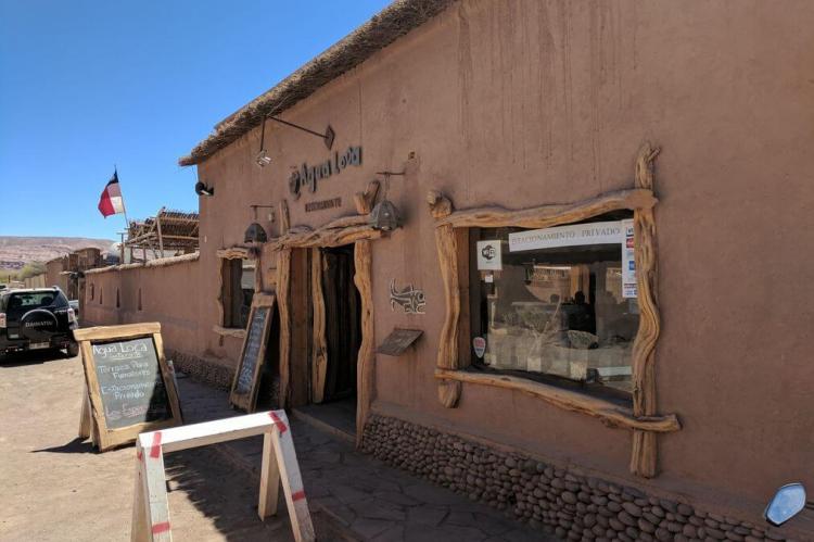
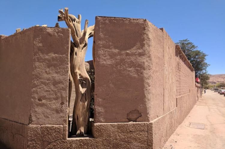
San Pedro de Atacama grew around an oasis in the Puna de Atacama, an arid high plateau for centuries. Its first inhabitants were the Atacameños, who developed basketworks and ceramic pottery crafts that tourists in the local souvenir shops can now appreciate. The town had 7,212 inhabitants as of the 2014 national census, urban areas and rural areas combined.
The town lies at an average of 8,000 ft (2,400 m) above sea level. The local climate is arid and mild, with daytime temperatures between 25 - 30 °C (77 - 86 °F) in the summer (December - February) and 18 - 25 °C (64 - 77 °F) in the winter (June - August). Temperatures routinely drop below 0 °C (32 °F) at night and can reach as low as −10 °C (14 °F) in the winter.
San Pedro de Atacama is a popular tourist destination. Native ruins nearby now attract increasing numbers of tourists interested in learning about pre-Columbian cultures. In addition, there are various activities for adventurers in the area: trekking, climbing, archaeological sightings, amateur astronomy, exploration tours in natural landscapes, and even sandboarding in the desert.
Cultural locations in the town include:
-
R. P. Gustavo Le Paige Archaeological Museum: displaying ceramics and pottery crafts from the first inhabitants of the area
-
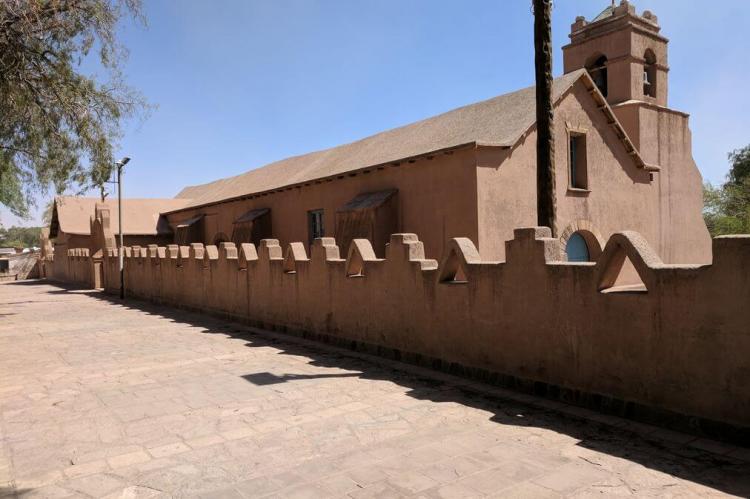
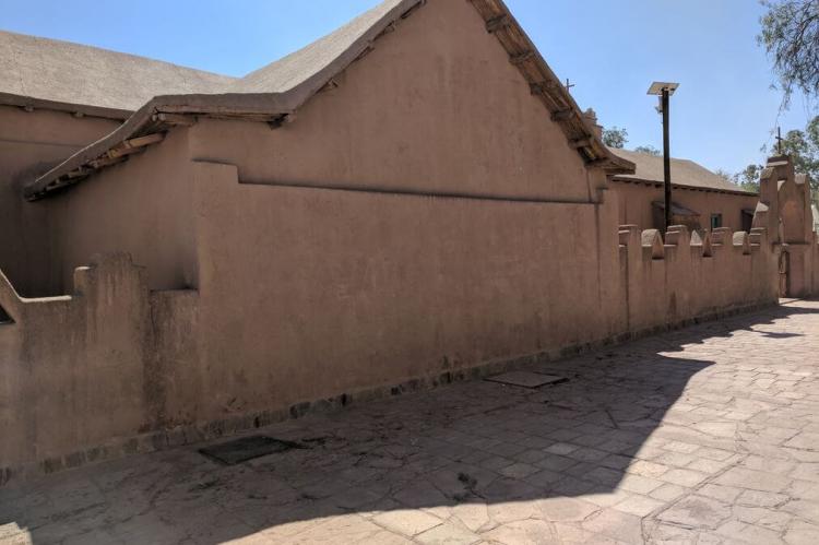
Church of San Pedro de Atacama: a National Monument built with adobe, one of the finest examples of Chile's "Churches of the Altiplano"
Outlying sites of interest include:
-
Chaxas Lagoon: part of Los Flamencos National Reserve in the Salar de Atacama, inhabited by pink flamingos
-
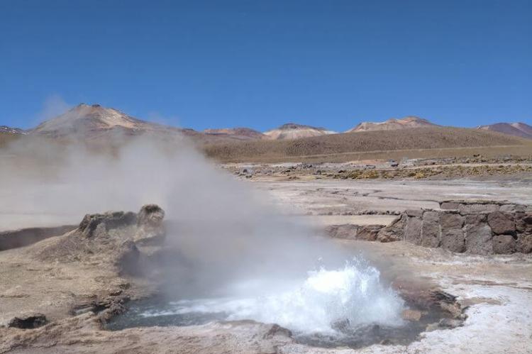
El Tatio: a geyser field with over 80 active geysers
-
Llano de Chajnantor Observatory: a radio-telescope site and home of "ALMA," the Atacama Large Millimeter Array
-
Laguna Miscanti and Laguna Miñiques: two neighboring altiplano lagoons at the altitude of 4,200 m (13,500 ft)
-
Licancabur: a stratovolcano on the border between Bolivia and Chile
-
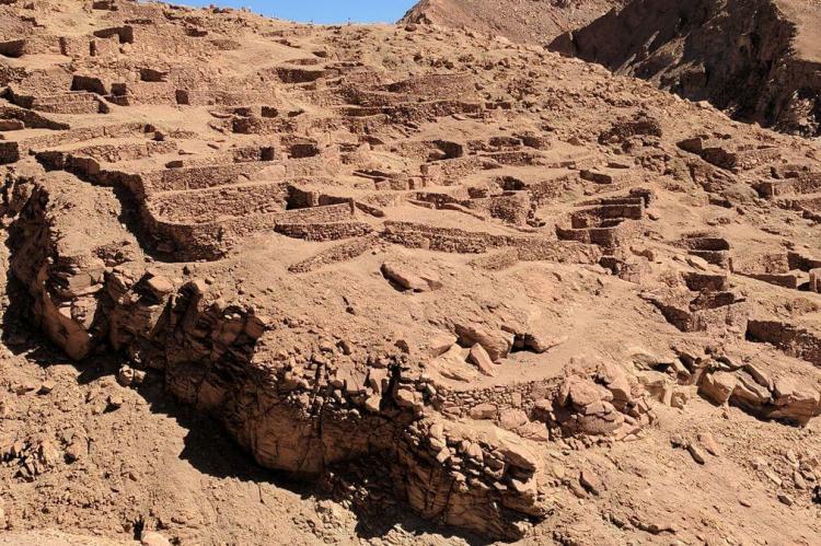
Pukará de Quitor ("Fort Quitor"): a fortification built by the Atacameño people in the 12th century
-
Puritama Hot Springs: a series of geothermal spring water pools located at the bottom of a canyon
-
Salar de Atacama: a giant salt area of 3,000 sq km (1,864.11 sq mi) in the Atacama Desert
-
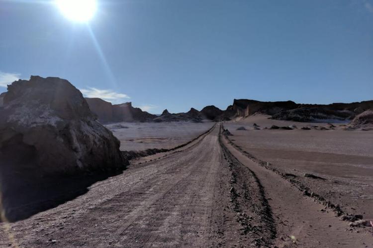
Valle de la Luna ("Moon Valley"): a moon-like landscape with stone and sand formations that have been carved by wind and water, includes ruins of old Chilean salt mines and worker huts
-
Valle de la Muerte ("Death Valley"): a valley where gigantic dunes and rocks abound
