Pan de Azúcar National Park: Chile's Coastal Desert Wilderness
Pan de Azúcar National Park, located along Chile's northern coast, features a unique combination of marine, terrestrial, and desert ecosystems. It is a key destination for nature enthusiasts and conservationists due to its stunning geological features and role in preserving delicate ecosystems.
Exploring Pan de Azúcar: A Sanctuary for Penguins, Guanacos, and Desert Life
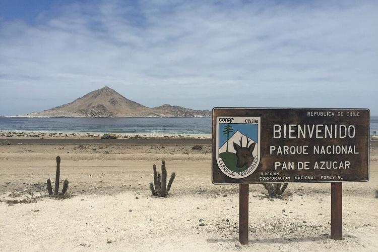
Pan de Azúcar National Park, located along the northern coast of Chile, is a breathtaking expanse of coastal desert that offers a unique combination of marine, terrestrial, and desert ecosystems. The park, established in 1985, spans 43,754 hectares (108,118 acres) and straddles both the Atacama and Antofagasta regions, showcasing a striking landscape defined by its arid climate, rich biodiversity, and historical significance. As one of the most ecologically diverse areas along Chile's northern coast, Pan de Azúcar National Park serves as a critical refuge for a variety of species, including the Humboldt penguin, guanaco, and marine mammals. Its stunning geological features and its role in preserving delicate ecosystems make it a key destination for nature enthusiasts and conservationists alike.
The Unique Ecosystems of Pan de Azúcar
Pan de Azúcar National Park is home to two distinct ecosystems: the coastal desert of Taltal and the steppe desert of the Sierra Vicuña Mackenna. These environments provide a range of habitats that support both desert-adapted plant species and a variety of wildlife, making the park a microcosm of the ecological diversity found in the northern desert region of Chile.
The Coastal Desert and Camanchaca
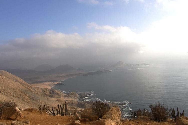
The park's coastal area is characterized by the influence of the Camanchaca, a dense coastal mist that compensates for the region's lack of rain. This mist is a crucial water source for both plant and animal life in the area. Plant species in the coastal region, including the chañar, cleome, and lechero, have evolved to take advantage of this moisture. The coastal mist sustains the park's vegetation, which in turn supports the park's unique wildlife.
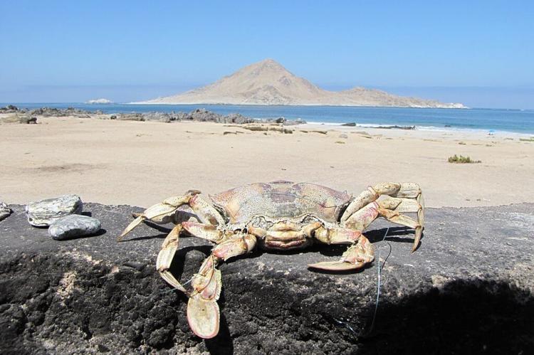
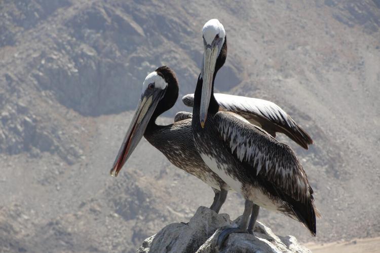
Birdlife thrives along the coast, with species such as pelicans, plovers, and the iconic Humboldt penguin breeding on the rocky shores and islands within the park. The shoreline also supports marine mammals, including marine otters and South American sea lions, which can be spotted along the park's cliffs and beaches.
The Interior Desert and the Sierra Vicuña Mackenna
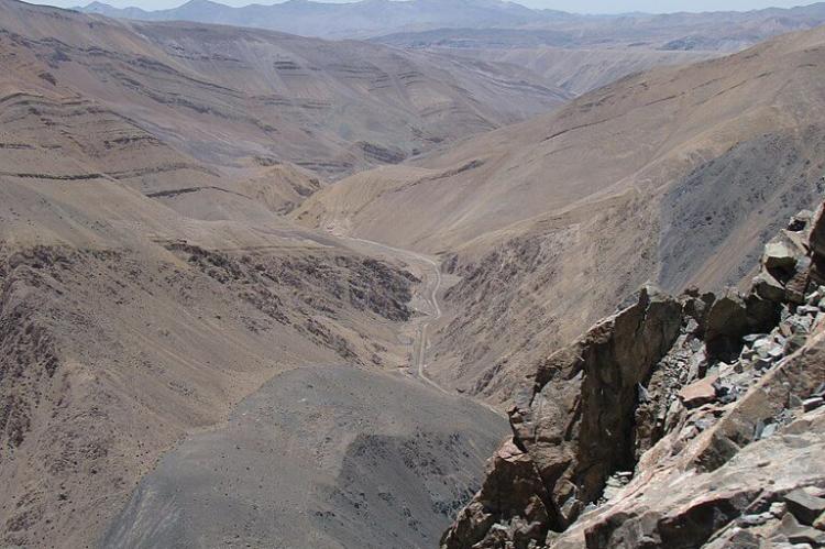
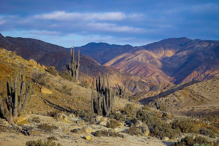
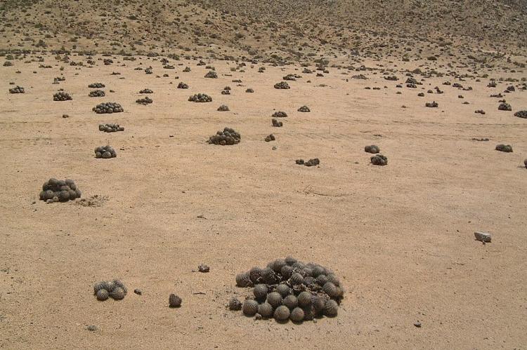
In contrast to the coastal zone, the park's interior, stretching into the steppe desert of the Sierra Vicuña Mackenna, is more barren, characterized by dry expanses and rugged terrain. Here, the landscape is dominated by cacti, particularly species from the Copiapoa genus, which are native to the Atacama Desert. These hardy plants have adapted to the extreme desert conditions, storing water to survive in the arid environment.
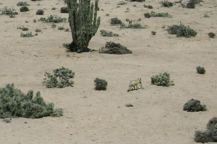
Wildlife in the interior region includes species such as the guanaco, culpeo fox, and various rodents. The region is also home to impressive bird species like the Andean condor and kestrels, which soar above the desert landscape, showcasing the region's impressive avian biodiversity.
Isla Pan de Azúcar: A Haven for Humboldt Penguins
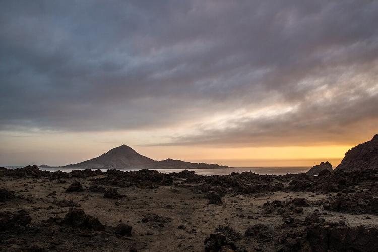
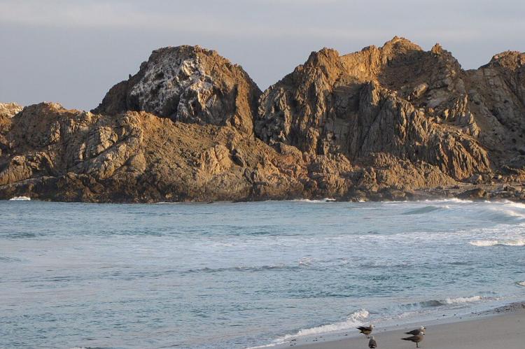
One of the park's most significant natural features is Isla Pan de Azúcar, a rocky island just off the coast. Composed of intensely metamorphosed sandstone and mudstone, the island's rugged landscape provides the perfect breeding grounds for the Humboldt penguin, which relies on the cool waters of the Humboldt Current.
The Humboldt Current, a cold-water ocean current flowing along the western coast of South America, not only affects the climate but also brings nutrient-rich waters to the shores, supporting marine life in the region. The combination of rocky cliffs and the cool waters make Isla Pan de Azúcar an ideal location for penguins to nest and raise their young. The island is a vital sanctuary for these penguins, whose populations are vulnerable to climate change and human activities.
Caleta Pan de Azúcar: From Mining Outpost to Tourism Hub
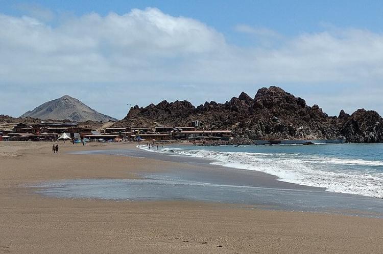
Nestled along the park's coastline, the small fishing village of Caleta Pan de Azúcar has transitioned from a copper shipping point to a hub for eco-tourism. In the past, the village was a key port for exporting copper mined from the Carrizalillo mine, located 60 kilometers (37 miles) northeast of the town. Although the copper trade has diminished, remnants of the town's mining history remain, with divers able to explore submerged sections of the old wharf and loading cranes.
Today, Caleta Pan de Azúcar is an essential base for park visitors. It houses the National Park Ranger office and the Environmental Information Center, where visitors can learn about the park's ecosystems, history, and conservation efforts. The village also offers access to the various camping, hiking, and biking opportunities available in the park, making it an ideal starting point for exploring the region.
Geological Marvels of Pan de Azúcar National Park
Pan de Azúcar National Park is home to several fascinating geological sites, offering insight into the region's ancient volcanic activity and the forces that shaped the landscape.
Aguada Quinchihue: An Oasis in the Desert
Aguada Quinchihue, located within the park, is a geological anomaly in the otherwise arid desert. Groundwater from the Andes occasionally rises to the surface, creating a temporary watering hole used for centuries by travelers crossing the harsh desert terrain. Although it often appears dry, seasonal snowmelt from the Andes can replenish the area, offering a rare glimpse of water in this otherwise parched environment. This feature highlights the stark contrasts in the park's landscape and demonstrates the interconnectedness between the park's ecosystems and distant mountain ranges.
Las Chilcas Geological Site
Another notable geological feature is the Las Chilcas Geological Site, which contains remnants of volcanic activity from the Triassic era. At the same time, the volcanoes that once dominated the area have long since disappeared; their legacy lives on in the exposed volcanic conglomerates found at the site. These rocks, created by ancient volcanic eruptions, provide an invaluable glimpse into the region's geologic history and serve as a reminder of the powerful forces that shaped this part of Chile's landscape millions of years ago.
Outdoor Recreation and Eco-Tourism
Pan de Azúcar National Park offers a wealth of outdoor activities for nature lovers and adventure seekers. The park features numerous trails that wind through its diverse landscapes, providing opportunities for hiking, biking, and wildlife observation. Popular hiking routes take visitors along the coast, through desert valleys, and up into the Sierra Vicuña Mackenna, offering breathtaking views of both the ocean and the arid desert.
For those looking to immerse themselves in the natural surroundings, the park offers twenty-five camping sites and five rustic cabins, allowing visitors to stay overnight in the heart of the park. The three main camping areas—Pan de Azúcar Lodge, Caleta Pan de Azúcar, and Los Yekos—are ideal spots for campers who want to experience the serenity of the coastal desert, with opportunities to spot wildlife or relax by the beach.
Conclusion
Pan de Azúcar National Park is a unique and diverse natural wonder, where coastal mist-fed ecosystems meet the arid expanse of the Atacama Desert. From the Humboldt penguins nesting on Isla Pan de Azúcar to the guanacos roaming the interior steppe, the park offers a rare glimpse into the delicate balance of life in one of the world's driest regions. Its geological features, including Aguada Quinchihue and Las Chilcas, add to the park's allure, while its rich biodiversity and historical significance make it a must-visit destination for those seeking to explore Chile's northern landscapes.
