Cordillera Vilcanota: An Andean Marvel of Natural and Cultural Heritage
The Cordillera Vilcanota in southeastern Peru is a beautiful and culturally rich mountain range. It features the notable landmarks of Vinicunca, also known as "Rainbow Mountain," and the tallest peak in the range, Ausangate, which holds significance in Incan mythology.
Exploring the Sacred Heights of Cordillera Vilcanota
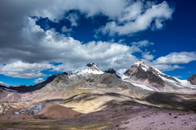
The Cordillera Vilcanota, nestled in southeastern Peru, is a testament to the Andes' stunning beauty and rich cultural legacy. Stretching across the departments of Cusco and Puno, this mountain range forms one of the southern branches of the Cordillera Occidental (eastern range) of the Peruvian Andes. The Cordillera Vilcanota is a vital geographical and cultural landmark in Peru, encompassing snow-capped peaks, expansive glaciers, and vibrant lagoons.
Geographical and Topographical Features
Location and Extent
Situated within the Andes Mountain system, the Cordillera Vilcanota extends approximately 80 kilometers (50 miles) northward and 40 kilometers (25 miles) westward. To the east, the San Gabán and Azángaro rivers to the east form the range's natural boundaries, separating it from the Cordillera Carabaya.
Major Peaks
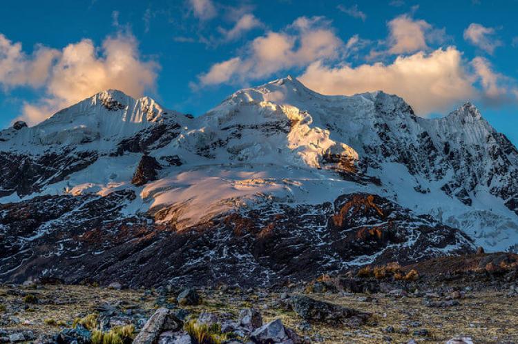
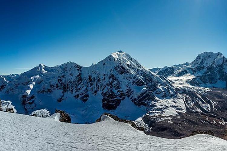
The Cordillera Vilcanota boasts over 200 peaks exceeding 4,600 meters (15,092 feet) in elevation, with its highest point being Ausangate at 6,384 meters (20,945 feet). Other notable peaks include:
- Callangate: 6,110 meters (20,046 feet)
- Chumpe: 6,106 meters (20,033 feet)
- Alcamarinayoc: 6,102 meters (20,020 feet)
- Jatunhuma: 6,093 meters (19,990 feet)
- Yayamari: 6,049 meters (19,846 feet)
- Huiscachani: 6,000 meters (19,685 feet)
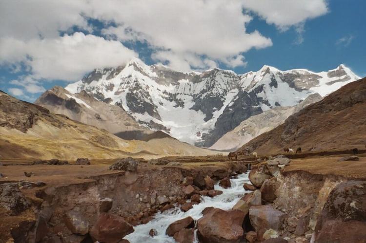
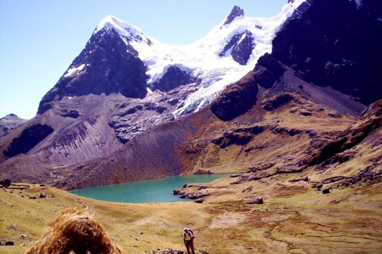
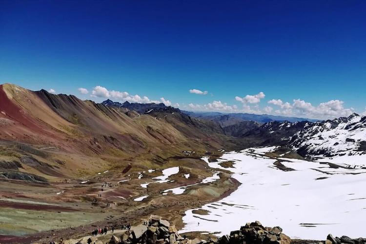
These towering summits are adorned with glaciers and surrounded by u-shaped valleys, moraines, and glacial lagoons, contributing to the range's breathtaking landscape.
Hydrological Significance
River Systems
Several rivers originate in the Cordillera Vilcanota, shaping the region's hydrology and supporting diverse ecosystems. The Qosñipata and Pilcopata rivers flow northward, joining the Madre de Dios River near Manú National Park. The Marcapata and San Gabán rivers descend to the east, with the latter joining the Inambari River before flowing into the Madre de Dios.
In the southern part of the range, the Vilcanota River merges with the Paria and Santa Rosa rivers, continuing its course as the Urubamba River through the Sacred Valley of the Incas, a region rich in archaeological significance and agricultural productivity.
Glacial Lagoons
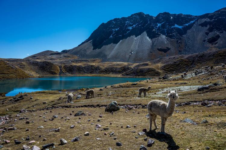
The Cordillera Vilcanota is home to numerous glacial lagoons, including Amayuni, Singrenacocha, Challpacocha, Armaccocha, and Sibinacocha. These lagoons, formed by retreating glaciers, are vital water sources and add to the region's scenic beauty.
Vinicunca: The Rainbow Mountain
Geological Marvel
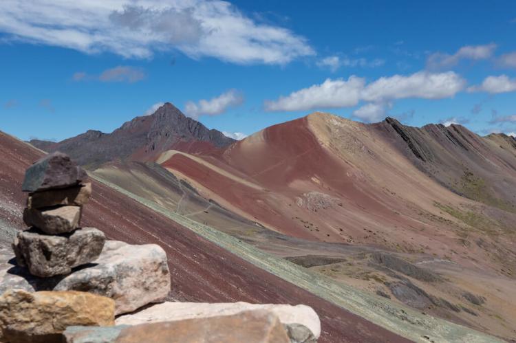
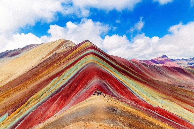
Vinicunca, also known as Montaña de Siete Colores (Mountain of Seven Colors or Rainbow Mountain), is a geological wonder in the Vilcanota range. At 5,200 meters (17,100 feet) above sea level, Vinicunca is renowned for its vibrant, multi-colored strata. The mountain's unique appearance results from sedimentary deposits and weathering processes, creating a marbled effect with colors ranging from pink and red to green and yellow.
Access and Popularity
Vinicunca is situated southeast of Cusco and can be accessed via routes from Cusipata or Pitumarca. This natural landmark has become a popular trekking destination, drawing visitors worldwide to witness its spectacular colors and panoramic views.
Ausangate: The Sacred Mountain
Mythological and Cultural Significance
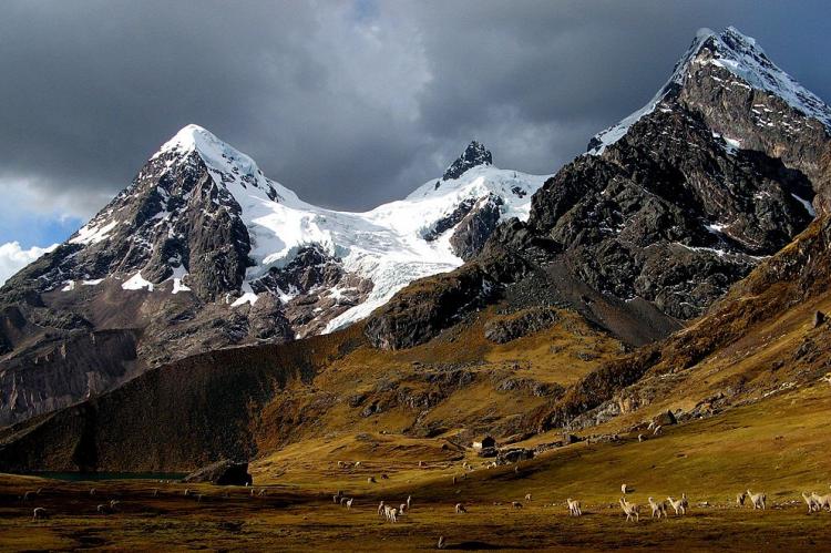
Ausangate, the highest peak in the Cordillera Vilcanota, is significant in Incan tradition for its cultural and mythological importance. At an elevation of 6,384 meters (20,945 feet), Ausangate is revered as a sacred mountain. The annual Quyllur Rit'i festival, meaning "star snow" in Quechua, attracts thousands of Quechua pilgrims. Celebrated approximately 20 kilometers (12 miles) north of Ausangate at Qullqipunku mountain, the festival takes place one week before the Corpus Christi feast, highlighting the mountain's spiritual significance.
Pastoralist Communities
The region around Ausangate is inhabited by llama and alpaca herding communities, representing one of the few remaining pastoralist societies in the world. These communities utilize high mountain trails for trade with lower-elevation agricultural communities. One of these trails, known as "the Road of the Apu Ausangate," is among Peru's most renowned trekking routes.
Geological Features and Natural Beauty
Andean Uplift and Glacial Formations
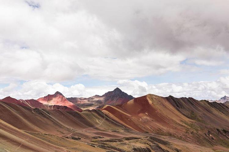
The Cordillera Vilcanota is characterized by its Andean uplift, granitic formations, hanging glaciers, and glacial erosional valleys. These geological features, coupled with the vibrant colors of the Permian formations and the limestone forests from the Cretaceous period, create a visually stunning and geologically diverse landscape.
Conclusion
The Cordillera Vilcanota is a remarkable mountain range that embodies the natural splendor and cultural heritage of the Peruvian Andes. From the awe-inspiring peaks of Ausangate and Callangate to the vibrant hues of Vinicunca, the range offers a unique blend of geological wonders, hydrological significance, and cultural richness. As a destination for trekkers, mountaineers, and cultural enthusiasts, the Cordillera Vilcanota continues to captivate and inspire all who explore its majestic landscapes.
