Latest Entries

Argentine Patagonia: Land of Endless Horizons

Stretching across the southern cone of South America like a vast natural amphitheater, Argentine Patagonia extends from the Colorado River in the north to the Drake Passage in the south, forming a landscape so diverse and dramatic that it has captivated explorers, scientists, and adventurers for centuries. From the ice-carved peaks of the Andes to the windswept Atlantic coast, Patagonia offers an unparalleled tapestry of natural wonders that continues to define Argentina's identity as a nation of extraordinary geographical diversity.

Chilean Patagonia: Realm of Fire and Ice

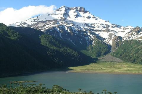
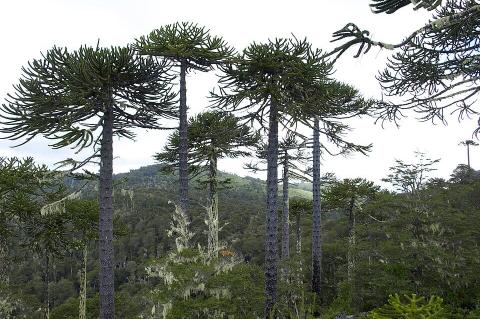
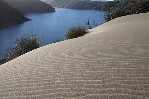
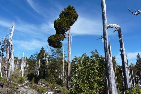
Rising from the tempestuous waters of the Drake Passage to the glaciated peaks of the Southern Andes, Chilean Patagonia encompasses one of Earth's most spectacular and pristine wilderness regions. Stretching across Chile's southernmost territories, the region extends from the Bío Bío River in the north to Cape Horn in the south, creating a landscape of such dramatic beauty and ecological complexity that it has earned recognition as one of the planet's last great wilderness frontiers.

Amazônia Unveiled: A Journey Through Nature's Crown Jewel

Amazônia—encompassing the Amazon rainforest, biome, basin, and river system—represents Earth's most magnificent and ecologically vital tropical region. This interconnected complex harbors unparalleled biodiversity while serving as a critical regulator of global climate and weather patterns. Often called "the lungs of the Earth," the four components of this vast region form a self-sustaining, complex ecosystem that has evolved over millions of years.

The Guatemalan Highlands: A Geological and Cultural Crossroads

Stretching between the Pacific coastal plains and Guatemala's northern Petén lowlands, the Guatemalan Highlands represent one of Central America's most geologically complex and culturally significant regions. Known locally as "Tierras Altas," this mountainous terrain encompasses towering volcanic peaks, deep valleys, highland lakes, and Indigenous communities. These dramatic landscapes result from millions of years of tectonic activity, which has shaped both the environment and human culture.

The Paraná Plateau: A Continent-Wide Legacy of Gondwana's Fire

The Paraná Plateau is a vast basalt tableland spanning southern Brazil, eastern Paraguay, northeastern Argentina, and northern Uruguay, formed by one of the largest volcanic eruptions in Earth's history. Its fertile soils, dramatic waterfalls, and hydroelectric resources make it one of South America's most important landforms. Its history is tied to Gondwana's breakup, the soils that fueled Brazil's coffee and soy economies, and two famous waterfalls—one still thundering, the other submerged beneath a reservoir.

The Brazilian Highlands: Geological Foundation of a Continental Giant

The Brazilian Highlands (Planalto Brasileiro) constitute South America's most extensive plateau system, covering approximately 4.5 million square kilometers (1.74 million square miles) and serving as Brazil's geological backbone. This ancient landform influences continental weather patterns, harbors critical biodiversity hotspots, supports over 190 million inhabitants, and provides the geological foundation for Brazil's emergence as a global agricultural and mining powerhouse.

Patagonia: Nature's Last Frontier at the End of the World

Argentina and Chile share Patagonia, a vast and enigmatic region at the southern tip of South America. It is renowned for its stunning landscapes, rich biodiversity, and cultural heritage. This expansive region, often referred to as one of the world's last remaining "Edens," captivates with its mix of arid plains, towering mountains, sprawling glaciers, and dense forests. Patagonia's geographical, climatic, economic, and cultural aspects reveal a region of immense natural beauty and significance.

The Greater Antilles: Crossroads of Caribbean History, Culture, and Nature

The Greater Antilles form the dominant landmass of the Caribbean, comprising the islands of Cuba, Hispaniola (shared by Haiti and the Dominican Republic), Puerto Rico, Jamaica, and the Cayman Islands. Together, these islands account for nearly 90% of the total land area of the West Indies, making them the geographic heart of the region and home to its most diverse array of cultures, ecosystems, and historical legacies.

The Lesser Antilles: Arc of Islands Between Two Oceans

The Lesser Antilles are a chain of islands from the Virgin Islands in the north to Trinidad and Tobago near Venezuela in the south. They are divided into three groups: the Leeward Islands in the north, the Windward Islands in the south, and the Leeward Antilles (or ABC islands) near the Venezuelan coast. These islands separate the Caribbean Sea from the Atlantic Ocean, forming the eastern boundary of the Caribbean basin. They feature diverse geological ages, ecosystems, and cultures within a compact arc.

The Caribbean Archipelago: Where Tectonic Forces Shaped a Cultural Crossroads

Nestled within the Caribbean Sea, the Caribbean Archipelago is a sprawling and diverse region composed of thousands of islands. This archipelago is more than just a collection of landmasses; it is a dynamic mosaic of natural beauty and cultural richness where geological evolution and human history are intricately interwoven. From its geographical features, climatic patterns, and biodiversity to its deep-rooted history and cultural diversity, this region offers a fascinating microcosm of human existence and ecological diversity.