Brazilian Highlands

Caparaó National Park: Brazil's Highest Atlantic Forest Summits

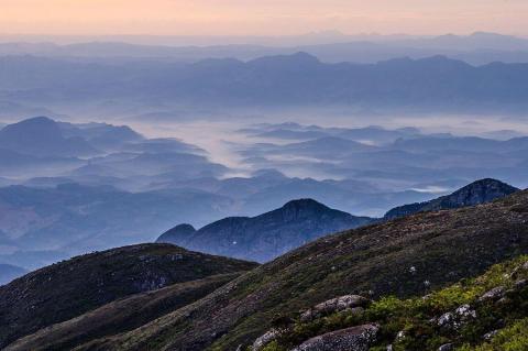
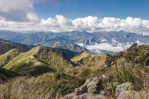
Caparaó National Park, created on May 24, 1961, protects about 31,800 hectares of Atlantic Forest and highland grassland on the border of Espírito Santo and Minas Gerais, with roughly 80 percent on the Espírito Santo side. Elevations climb from 997 meters to Pico da Bandeira at 2,892 meters, Brazil's third-highest summit. Its streams feed the Doce, Itapemirim, and Itabapoana basins, and its high fields shelter many endemic plants and frogs. Climbers favor the drier months from April to October.
Serra da Canastra National Park: Where the São Francisco River Is Born

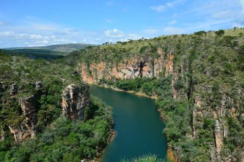
Serra da Canastra National Park lies on a Cerrado plateau in southwestern Minas Gerais, on the divide between the São Francisco and Paraná river systems. Created on April 3, 1972, it was decreed at about 198,000 hectares, but only about 99,000 hectares are under federal control, and land disputes continue. Elevations run from 750 to 1,490 meters, Casca d'Anta falls 186 meters, and the grasslands shelter maned wolves, giant anteaters, and Brazilian mergansers. Hiking and wildlife viewing draw visitors.

Serra da Mantiqueira: Southeastern Brazil's Mountain Water Tower

The Serra da Mantiqueira runs roughly 320 kilometers northeast from the Paraíba do Sul valley through São Paulo, Minas Gerais, and Rio de Janeiro. A 2004 survey confirmed Pedra da Mina, at 2,798 meters, as its highest peak, just above Pico das Agulhas Negras. Itatiaia National Park, Brazil's oldest, is a 421,804-hectare protected area that shelters Atlantic Forest, Araucaria woodland, and highland grasslands whose springs feed the Paraíba do Sul and Grande rivers. Trails and cool winters draw visitors.

Serra do Espinhaço Biosphere Reserve: Brazil's Ancient Backbone of Grasslands and Gold

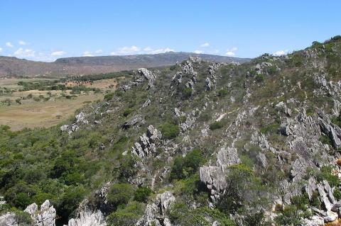
The Serra do Espinhaço runs 1,100 to 1,200 kilometers north to south through Minas Gerais and Bahia, dividing the upper São Francisco basin from rivers that flow to the Atlantic. UNESCO recognized its southern portion as a biosphere reserve on June 27, 2005, covering more than 3 million hectares. Pico do Sol reaches 2,072 meters, rupestrian grasslands hold exceptional plant endemism, and Ouro Preto, Congonhas, and Diamantina preserve its colonial mining heritage. Mining and fire are key threats.

Serra do Mar: Brazil's Emerald Escarpment

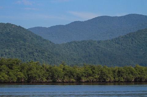
Along Brazil's southeastern Atlantic coast, where the azure ocean meets the verdant mountains, rises one of South America's most spectacular geological formations. The Serra do Mar stretches for approximately 1,500 kilometers, forming a dramatic backdrop that has shaped both the landscape and the destiny of Brazil. From the misty highlands of Espírito Santo in the north to the rugged coastlines of Santa Catarina in the south, this ancient mountain system forms an almost continuous barrier between Brazil's interior plateau and the Atlantic Ocean.

Serra dos Órgãos: An Ecological Jewel of Brazil's Atlantic Forest

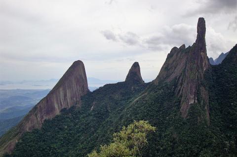
Rising majestically from Rio de Janeiro's coastal plains, the Serra dos Órgãos offers one of Brazil's most spectacular mountain landscapes. Named for its granite spires resembling cathedral organ pipes, this range is part of the Serra do Mar system, creating a dramatic backdrop that has fascinated visitors and scientists for centuries. From the bustling metropolis of Rio de Janeiro, these peaks appear as mystical silhouettes against the sky, their jagged profiles like ancient monuments to Brazil's geological forces.

The Borborema Plateau: Northeast Brazil's Highland Between Coast and Sertão

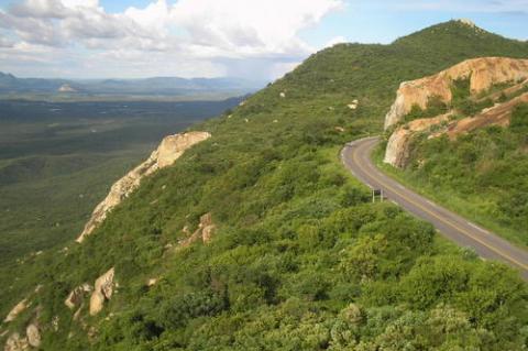
The Borborema Plateau of northeastern Brazil stretches about 400 kilometers across Alagoas, Pernambuco, Paraíba, and Rio Grande do Norte, with an average elevation near 500 meters. Geologists link its rise to the breakup of South America and Africa, and possibly to magma beneath a crust up to 35 kilometers thick. The plateau blocks moist Atlantic winds, leaving the sertão dry, while its humid brejos de altitude hold Atlantic Forest, and cities such as Campina Grande and Caruaru depend on its rivers.

The Brazilian Highlands: Geological Foundation of a Continental Giant

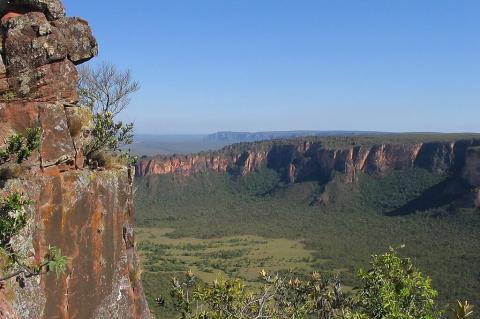
The Brazilian Highlands (Planalto Brasileiro) constitute South America's most extensive plateau system, covering approximately 4.5 million square kilometers (1.74 million square miles) and serving as Brazil's geological backbone. This ancient landform influences continental weather patterns, harbors critical biodiversity hotspots, supports over 190 million inhabitants, and provides the geological foundation for Brazil's emergence as a global agricultural and mining powerhouse.

The Serra Geral: Unveiling A Natural Wonder of Southern Brazil

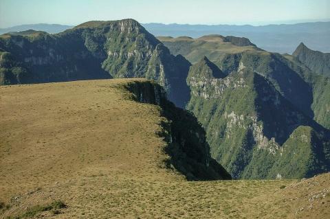
The Serra Geral, an imposing escarpment in southern Brazil, stands as a testament to the region's geological complexity and ecological richness. From its eastern reaches in Rio Grande do Sul to its northern extent in São Paulo, this mountain range captivates with its rugged beauty and diverse ecosystems. Within this breathtaking landscape lies the Serra Geral National Park, established to preserve the region's natural heritage and encompass iconic landmarks such as the Malacara, Churriado, and Fortaleza canyons.