Huascarán National Park and Biosphere Reserve (Peru)
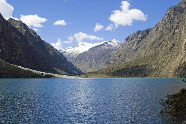
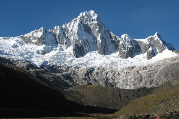
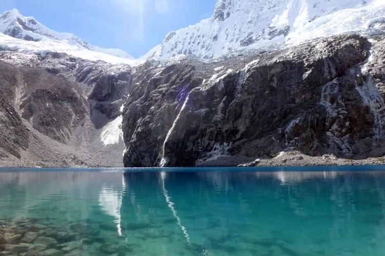
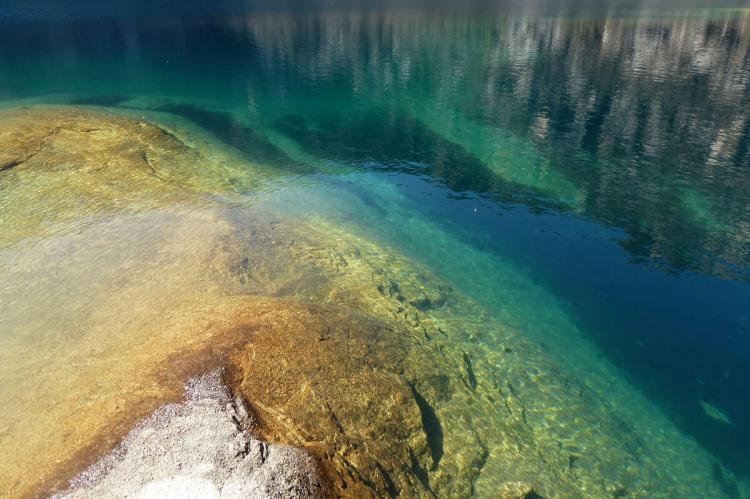
Situated in the Cordillera Blanca, Huascarán National Park and Biosphere Reserve protects the heart of the world's highest tropical mountain range in the central Peruvian Andes. The deep ravines, glacial lakes and variety of vegetation make it a site of spectacular beauty.
Huascarán National Park
A Natural and Cultural Treasure
Huascarán National Park is situated in the Ancash region of Peru, covering an extensive area of 340,000 hectares (840,000 acres). The park is strategically positioned west of the Cordillera Blanca, comprising the world's highest tropical mountain range.
It spans the western slopes of the central Peruvian Andes that drain into the Pacific Ocean via the Santa River and the eastern slopes that feed the Marañon River, ultimately joining the Amazon River and the Atlantic Ocean.
Nevado Huascarán
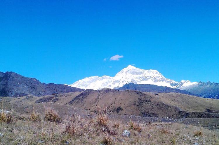
At the heart of the park stands Nevado Huascarán, Peru's highest peak, soaring to an elevation of 6,768 meters (22,204 feet). Named after the 16th-century Inca leader Huascar, this snow-clad summit is a defining feature of the park's landscape.
Ecosystem Diversity
A range of ecosystems and vegetation types marks the park's landscape. Lower elevations and valleys harbor montane tropical forests, while Páramo and Puna grasslands and scrublands dominate higher altitudes. At even greater heights, these give way to tropical tundra.
Biodiversity
Huascarán National Park is a sanctuary for diverse wildlife. The park's conservation successes include the recovery of the emblematic vicuña. Other notable mammalian residents include the North Andean Deer, Puma, Spectacled Bear, and Andean Mountain Cat.
Avian enthusiasts can encounter over 100 bird species, with the Andean Condor and Giant Hummingbird being among the highlights. The park's botanical diversity encompasses approximately 800 documented plant species, with the endangered Queen of the Andes being a notable presence.
Climate
The park experiences distinct seasons. The rainy season unfolds from December to March, characterized by frequent thunderstorms and lush vegetation. Conversely, the dry season prevails from April to November, offering almost daily sunshine and cold nights. Temperature ranges vary during these seasons, with highs ranging from 20°C (68°F) to 24°C (75°F) and lows from 2°C (36°F) to 5°C (41°F).
Human History
Pre-Columbian settlements have left an indelible mark on the park's landscape. The remnants of agricultural terraces, corrals, roads, dams, water canals, cave paintings, stone tombs, and artifacts reflect the area's early human habitation.
Huascarán Biosphere Reserve
In 1977, Huascarán National Park was recognized by UNESCO as a Biosphere Reserve, underscoring its ecological significance.
Geographical Extent
The Huascarán Biosphere Reserve extends well beyond the national park's boundaries, encompassing the Santa River valley and numerous villages and towns. The entire Biosphere Reserve covers an expansive area of 1,155,800 hectares (2,856,000 acres). This includes the core area, represented by Huascarán National Park, spanning 340,000 hectares (840,000 acres), a buffer zone of 170,200 hectares (420,500 acres), and transition areas covering 645,600 hectares (1,595,300 acres).
Geological and Hydrological Significance
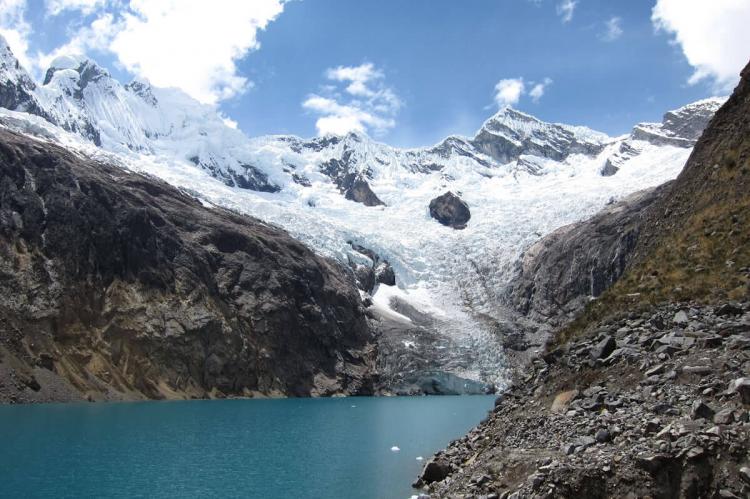
The reserve hosts the Cordillera Blanca, which is recognized as the most extensive tropical ice-covered mountain range globally. It boasts the largest concentration of ice in Peru. Glaciers extend approximately 180 kilometers (110 miles) from Nevado Tuco in the south to Nevado Champara in the north. The reserve also features around 296 glacial lakes. These geological features significantly influence the region's hydrology.
Biodiversity and Cultural Significance
The Biosphere Reserve is a testament to ecological diversity and the coexistence of human communities. Around 360,000 people reside within the reserve, primarily belonging to ethnic Andean mestizo communities engaged in agriculture and livestock-rearing. The reserve is a vital water source for two million people, but it is not without its challenges, including the risks of water shortages and glacial lake outburst floods.
A Living Legacy
Huascarán National Park and its extension as the Huascarán Biosphere Reserve continue to evolve and adapt in response to changing environmental dynamics. They serve as a vital scientific study and conservation center, preserving Peru's natural heritage and rich cultural tapestry.
