Landforms of Bolivia

The Altiplano-Puna Volcanic Complex: Unveiling Geological Marvels in South America

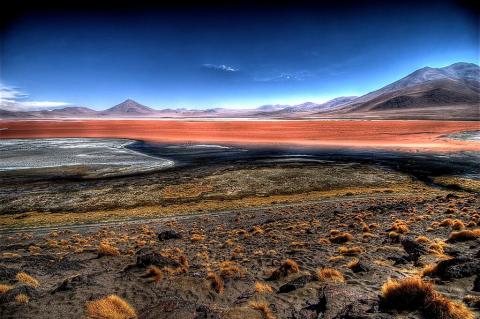
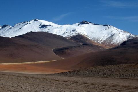
The Altiplano-Puna Volcanic Complex spans Argentina, Bolivia, and Chile, shaped by the subduction of the Nazca Plate beneath the South American Plate. It boasts diverse volcanic features and is the largest active magma reservoir. Scientific exploration continues to unravel the region's geological history, revealing insights into subterranean processes.

The Andean Volcanic Belt and the Pacific Ring of Fire: Unveiling Earth's Geological Marvels

The Andean Volcanic Belt and the Pacific Ring of Fire are regions where Earth's crustal plates interact, resulting in volcanic zones and seismic activity. The Andean belt is formed as the Nazca and Antarctic plates move beneath the South American Plate, while the Pacific Ring of Fire is home to over 450 volcanoes and an extensive network of oceanic trenches, volcanic arcs, and belts.

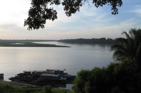
The Beni and Mamoré Rivers: Bolivia's Lifelines

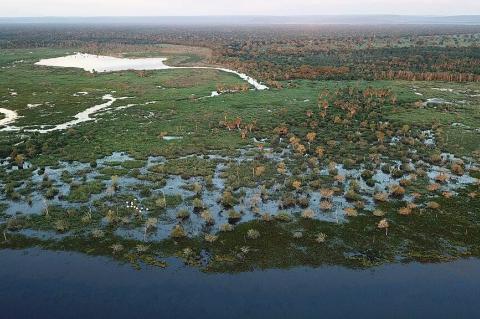
The Beni and Mamoré Rivers, coursing through the heart of Bolivia, are lifelines for both nature and civilization. They shape the landscape and provide sustenance to countless communities along their banks. From their origins in the rugged Andean slopes to their convergence into the mighty Madeira River at Bolivia's northeastern border, these rivers tell a story of resilience, biodiversity, and cultural richness.

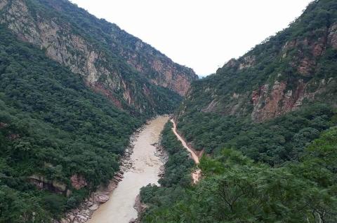
The Bermejo River: South America's Diverse Lifeline

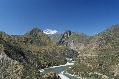
The Bermejo River is a vital watercourse in South America. It meanders through Bolivia and Argentina's lush landscapes as a crucial lifeline to the ecologically diverse and culturally rich Chaco region. Originating in the lofty Andes Mountains and flowing southward to its confluence with the Paraguay River, the river weaves a narrative of ecological abundance, cultural significance, and the resilience of its riparian communities.