Islands and Archipelagos of Mexico
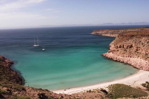
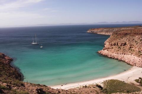
Mexico, a land of rich cultural heritage and breathtaking landscapes, extends its allure beyond its mainland borders to encompass a stunning array of islands and archipelagos scattered across its coastal waters. Nestled within the embrace of the Pacific Ocean and the Gulf of Mexico, these picturesque landmasses are evidence of the nation's diverse geography and vibrant heritage.
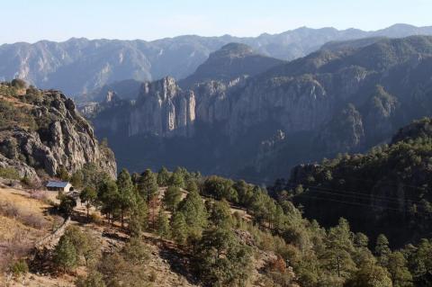
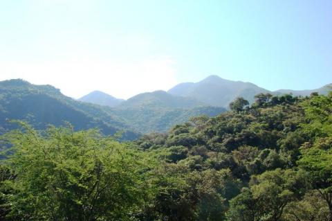
![Sierra Madre Occidental, looking across Rio San Ignacio from near the village of Guajurana - via Wikimedia Commons by Cataclasite [CC BY-SA (https://creativecommons.org/licenses/by-sa/3.0)] Sierra Madre Occidental, looking across Rio San Ignacio from near the village of Guajurana](/sites/default/files/styles/medium/public/sierra_madre_occidental_volcanics_opt.jpg?itok=i6dbEcEE)
