
The Caribbean Archipelago: Where Tectonic Forces Shaped a Cultural Crossroads
Nestled within the Caribbean Sea, the Caribbean Archipelago is a sprawling and diverse region composed of thousands of islands. From its geographical features, climatic patterns, and biodiversity to its deep-rooted history and cultural diversity, this region offers a fascinating microcosm of human existence and ecological diversity.
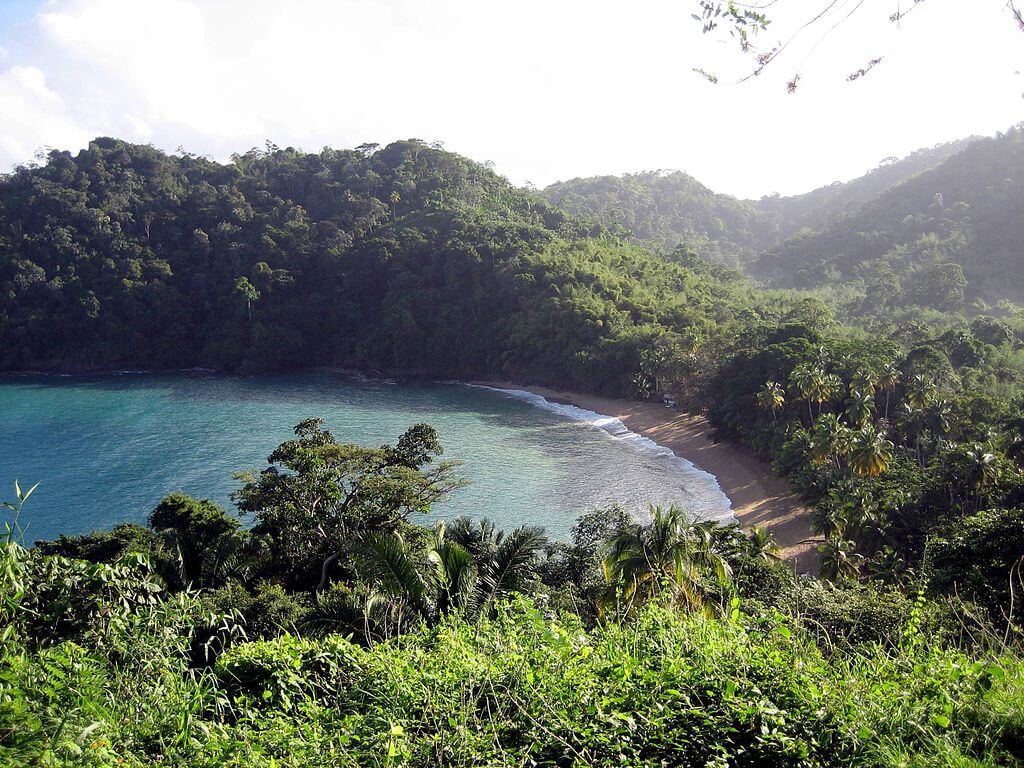
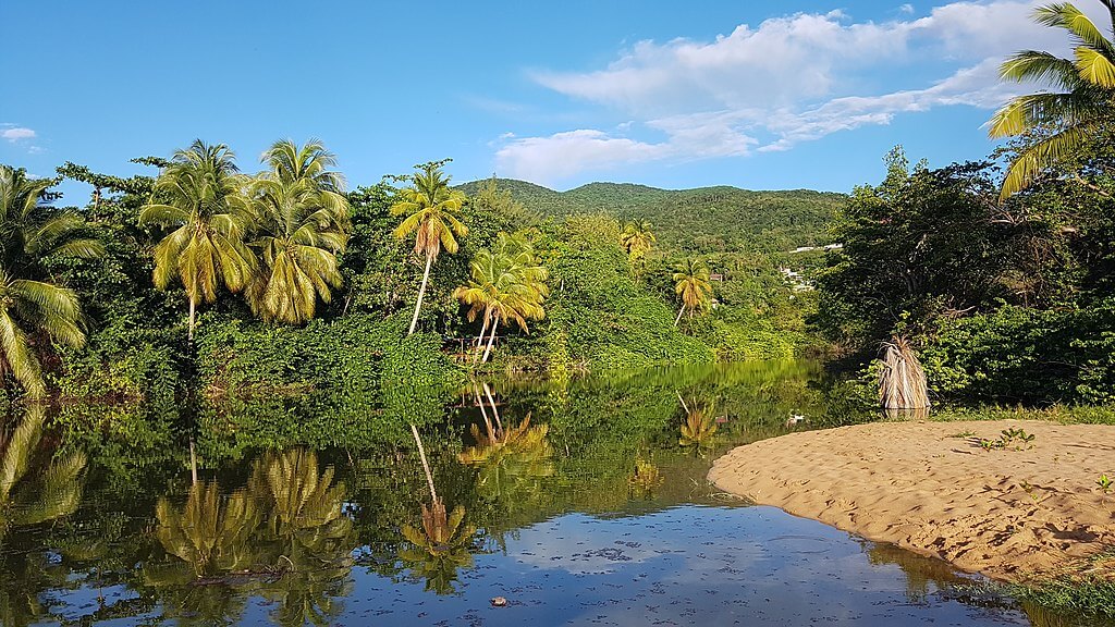
Islands of Fire and Coral: The Making of the Caribbean Archipelago
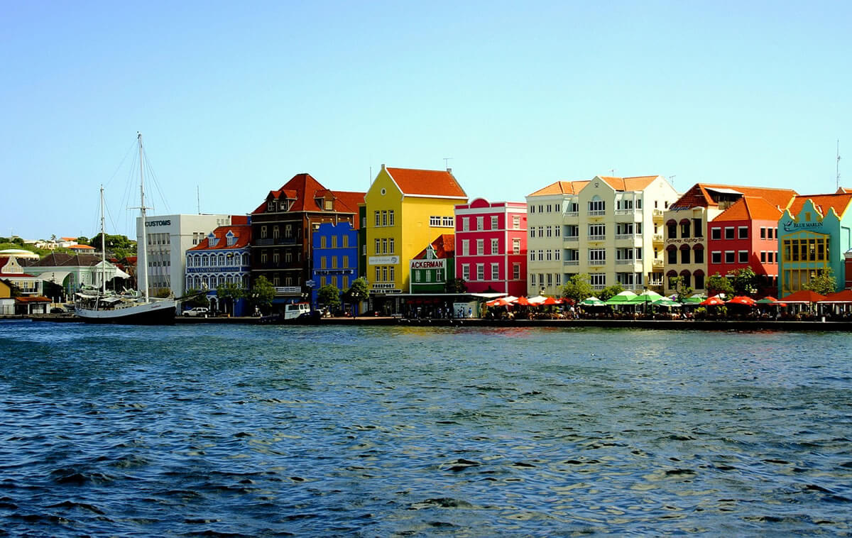
Scattered across the Caribbean Sea like stepping stones between two continents, the Caribbean Archipelago comprises more than 7,000 islands, islets, and cays. It is far more than a collection of sun-washed landmasses; it is a region where volcanic fire, coral growth, and tectonic collision have built a landscape as varied as the cultures layered upon it. From towering peaks forged by subduction to atolls barely rising above the tide, and from Taíno place names to the rhythms of reggae and merengue, the archipelago offers a compact but extraordinarily rich cross-section of natural and human history.
Geography and Geological Origins
The Caribbean Archipelago sits atop one of the most geologically active junctions in the Western Hemisphere, where the North American, South American, and Caribbean plates meet, collide, and slide past one another. This restless boundary, more than anything else, has shaped the region: every volcanic cone, coral atoll, and mountain range owes its existence to the slow grinding of these plates over millions of years.
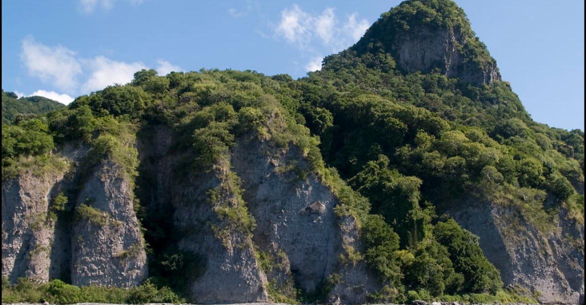
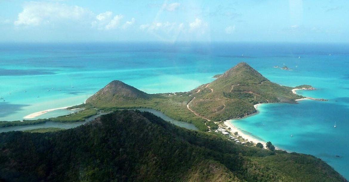
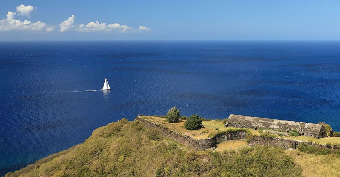
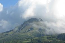
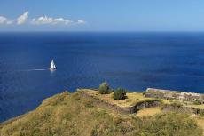
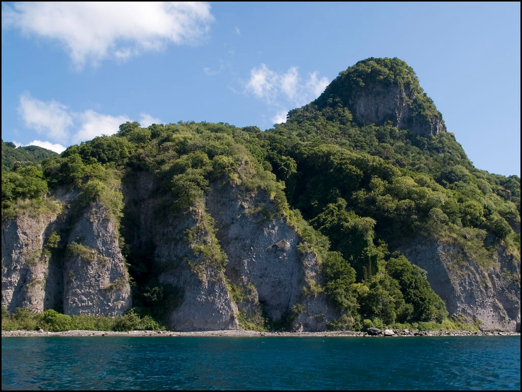
Where the North American and Caribbean plates have collided most forcefully, the result has been dramatic mountain building. The volcanic islands of Dominica and Saint Kitts are products of this collision, their steep, forested peaks rising abruptly from the sea as visible evidence of forces at work far below the surface.
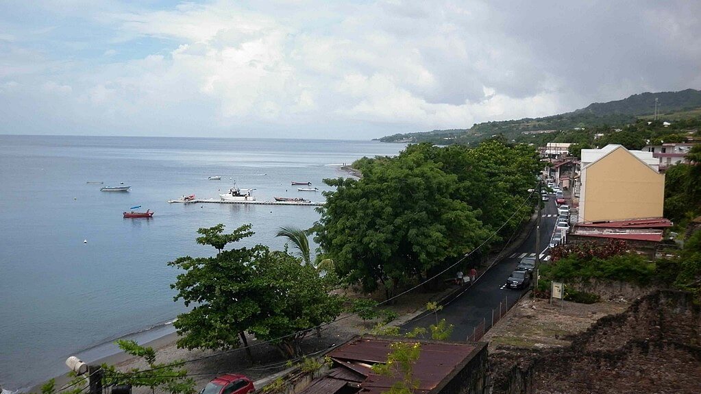
Elsewhere, subduction rather than collision has shaped the land. Along the Lesser Antilles, which include Saint Lucia and Saint Vincent, the denser Caribbean Plate is being forced beneath the South American Plate. This process feeds the magma chambers that have built a curving arc of volcanic islands, their slopes covered in fertile, mineral-rich soil that has long supported agriculture.
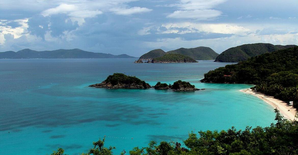
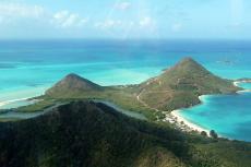
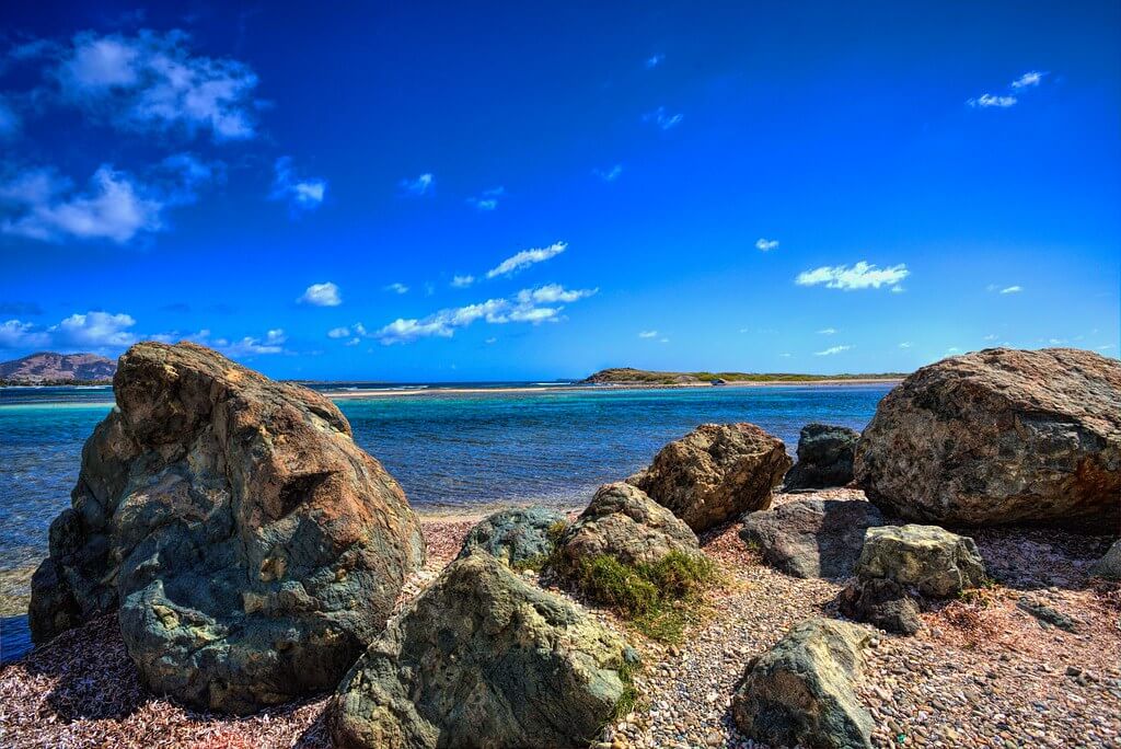
Not every part of the archipelago owes its form to volcanism, however. Where plates have pulled apart rather than collided, the seafloor has stayed shallow long enough for coral to build up into low, flat platforms. The Turks and Caicos Islands are the clearest expression of this process, a landscape of shallow lagoons, narrow tidal channels, and intricate reef systems that stand in sharp visual contrast to the volcanic peaks further south.
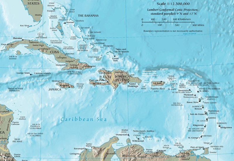
Map of the Caribbean region with topographical features.
The Larger Islands as Regional Anchors
Amid the thousands of smaller islands, four larger landmasses give the archipelago its structure and its historical weight: Cuba, Hispaniola (shared by the Dominican Republic and Haiti), Puerto Rico, and Jamaica. Their size alone divides the Caribbean into distinct geographic subregions, the Greater Antilles and the Lesser Antilles, each with its own ecological and climatic character, but their significance runs deeper than geography.
Cuba, the largest island in the Caribbean, has shaped regional politics for generations, most visibly through the Cuban Revolution and its long aftermath. Hispaniola holds a different kind of historical weight as the site of the first permanent European settlement in the Americas. This legacy still shapes the intertwined but divergent paths of the Dominican Republic and Haiti. Puerto Rico's central position within the archipelago gives it real meteorological influence over the eastern Caribbean, while its status as a U.S. territory ties its economy and politics closely to the mainland. Jamaica, meanwhile, has exported a cultural influence far out of proportion to its size, its reggae and dancehall traditions carrying the island's voice across the world.
A Landscape of Contrasts
Few regions of comparable size pack in as much topographic variety as the Caribbean. Volcanic summits, coral flats, rainforested mountains, and underwater canyons all sit within a few hundred kilometers of one another, each shaped by a different geological story.
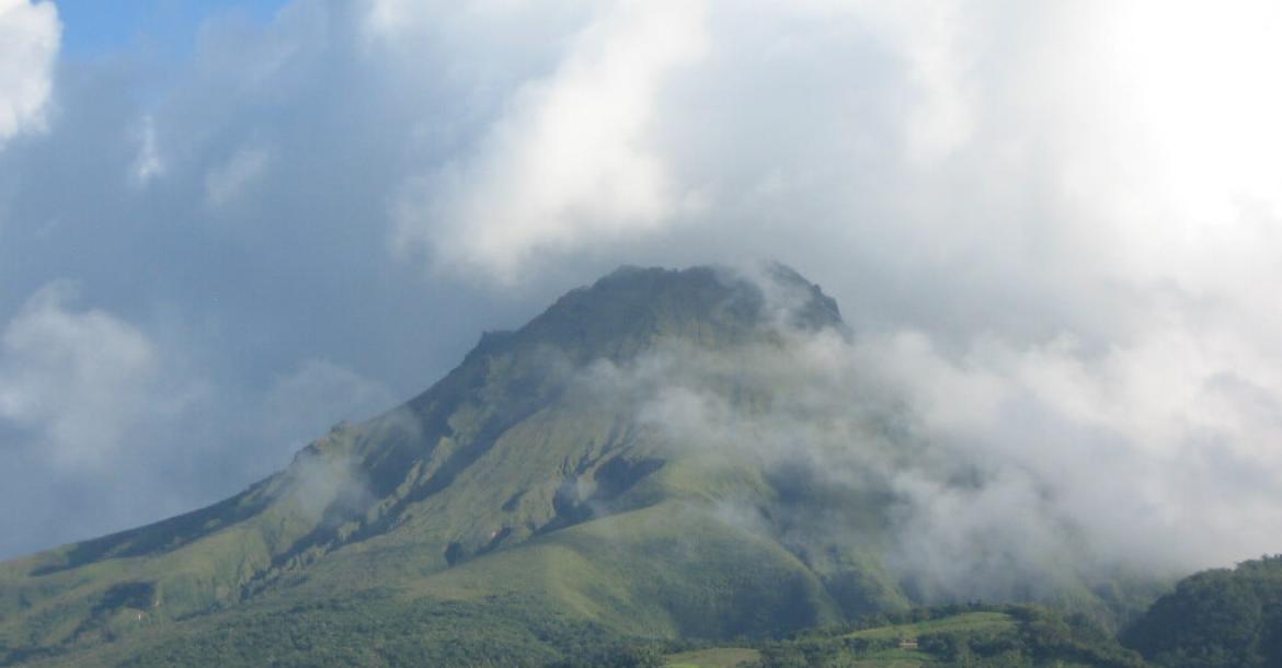
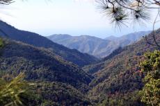
On islands such as Dominica and Saint Lucia, volcanic soil and steep terrain have produced some of the region's most dramatic scenery. Morne Trois Pitons, an extinct volcano in Dominica, rises to 1,342 meters (4,400 feet) above a landscape laced with rivers, waterfalls, and dense rainforest, drawing hikers into terrain that still bears the unmistakable signature of past eruptions.
At the opposite extreme, the coral atolls of the Turks and Caicos Islands lie barely above sea level, their shallow lagoons connected to open water by narrow channels. These low profiles make them strikingly beautiful but also acutely vulnerable to rising seas, a vulnerability that has become a defining concern for the wider region.
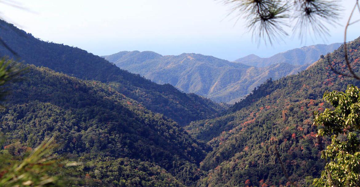
Puerto Rico and Jamaica occupy a middle ground, with extensive mountain ranges that support lush, high-altitude rainforest. El Yunque National Forest, part of Puerto Rico's Luquillo Mountains, is one of the few tropical rainforests within the U.S. National Forest System. In Jamaica, the Blue Mountains climb to 2,256 meters (7,402 feet) and shelter a wealth of endemic species, among them the Jamaican boa, Epicrates subflavus, the island's largest native terrestrial predator.
Beneath the waves, the topography is no less varied. Coral reefs, submerged caves, and steep drop-offs form critical habitat for marine life and draw divers from around the world. The Bahamas is particularly known for its blue holes, vertical underwater sinkholes that plunge deep into the limestone bedrock and remain a source of fascination for recreational divers and marine researchers alike.
Climate: Tropical Warmth and Seasonal Extremes
The Caribbean's climate is predominantly tropical, with warm temperatures persisting year-round across most of the archipelago. Trinidad and Tobago stand somewhat apart, experiencing a drier, semi-arid climate that distinguishes them from their northern neighbors.
Hurricanes are the region's defining climatic event, arriving during a well-defined season and shaping everything from building codes to agricultural planning. Their influence on the archipelago's ecosystems and human settlements is profound, and preparedness for them has become woven into the rhythm of Caribbean life.
At a smaller scale, elevation and proximity to the sea generate a mosaic of microclimates. Coastal zones tend toward high humidity, while mountainous interiors offer cooler, often wetter conditions. Trade winds drive much of the region's rainfall, producing the distinct wet and dry seasons that shape agriculture on islands such as Saint Lucia, where abundant wet-season rain nourishes fertile soils and supports the dense vegetation that gives so much of the Caribbean its characteristic greenery.
Biodiversity: A Concentrated Hotspot
Few marine and terrestrial environments anywhere pack as much biological diversity into such a small area as the Caribbean. Coral reefs, rainforests, and arid coastal scrub sit within short distances of one another, each shaped by the same geological forces that built the islands themselves.
The Caribbean's coral reefs, including the Mesoamerican Barrier Reef and the Belize Barrier Reef, rank among the largest and most diverse in the world. Together, they support more than 65 species of hard coral and over 500 species of fish, including the Nassau grouper, Epinephelus striatus, and the green sea turtle, Chelonia mydas. These reefs are increasingly under strain: rising ocean temperatures have triggered bleaching events affecting an estimated 30 percent of Caribbean reefs in recent decades, with sea temperatures in some areas climbing by as much as 0.8°C (1.4°F) over the past century.
On land, the mountainous rainforests of Puerto Rico, Jamaica, and Dominica shelter species found nowhere else. The critically endangered Puerto Rican parrot, Amazona vittata, numbers fewer than 500 individuals in the wild, making it one of the region's most urgent conservation priorities. The Saint Lucia racer, Liophis ornatus, is rarer still, with an estimated population of fewer than 20 individuals, placing it among the most endangered snakes on Earth. Birdlife is similarly distinctive, with endemic species such as the Cuban tody, Todus multicolor, and the Bahama woodstar, Calliphlox evelynae, found only on their respective islands.
The surrounding waters are just as significant. The Caribbean Sea holds roughly 9 percent of the world's coral reefs and supports more than 1,400 fish species. Waters around Bonaire, the Flower Garden Banks off Texas, and the reefs of the Cayman Islands serve as vital nurseries for commercially important species and help maintain genetic diversity across marine populations.
These ecosystems face compounding pressures from habitat loss, invasive species, overfishing, and climate change. In response, marine protected areas now cover more than 20,000 square kilometers (7,722 square miles) of Caribbean waters, while reforestation initiatives have restored over 50,000 hectares (123,553 acres) of forest habitat. Targeted recovery programs continue for species including the Puerto Rican parrot and the hawksbill sea turtle (Eretmochelys imbricata).
Culture: Layers of History and Fusion
Caribbean culture carries the imprint of every era that has shaped the region, from the Indigenous societies that thrived here for centuries before European contact to the forced migrations and colonial rule that followed. The Taíno, Kalinago, and Arawak peoples, whose combined populations are estimated to have exceeded 750,000 before 1492, left lasting legacies in place names, artifacts, and agricultural practices such as cultivating cassava, sweet potato, and maize. Christopher Columbus's arrival that year set in motion a period of colonization and Indigenous population decline driven by disease, warfare, and forced labor.
Spanish, English, French, and Dutch colonization left the region linguistically fragmented, a patchwork of European languages, Indigenous tongues, and Creole languages that persists today. No single influence, though, shaped Caribbean culture more profoundly than the transatlantic slave trade. Between the sixteenth and nineteenth centuries, an estimated four to six million enslaved Africans were transported to the Caribbean, representing close to 40 percent of all enslaved people brought to the Americas. Their traditions, languages, and spiritual practices fused with Christianity and Indigenous belief systems to produce syncretic religions such as Santería in Cuba, Vodou in Haiti, and Obeah across the English-speaking islands.
That fusion continues to define Caribbean life. Multilingualism is common, religious practice often blends multiple traditions within a single community, and music remains one of the region's most powerful cultural exports. Reggae, soca, calypso, dancehall, and merengue all carry the weight of history in their lyrics, addressing themes of resistance, identity, and celebration. Reggae's global reach was formally recognized when UNESCO inscribed it as an Intangible Cultural Heritage of Humanity.
Food tells a parallel story of fusion. Plantains, yams, cassava, rice, and beans form the backbone of Caribbean cooking, elaborated with ingredients and techniques drawn from Africa, Europe, Asia, and Indigenous traditions. The result ranges from Jamaican jerk seasoning to the Dominican Republic's hearty sancocho stews and the layered curry dishes of Trinidad and Tobago, all built around fresh seafood and tropical fruits such as mango, papaya, and guava.
Festivals bring these threads together most visibly. Trinidad and Tobago's Carnival alone draws more than 100,000 international visitors annually, while Junkanoo in the Bahamas and Crop Over in Barbados carry forward traditions rooted in both European masquerade and African harvest celebrations. Far from simple spectacle, these events function as living expressions of identity, memory, and community resilience.
Conclusion
The Caribbean Archipelago stands as a compact but remarkably complete record of how geological force, climate, biology, and human history can intertwine. Spread across more than 2.75 million square kilometers (1.06 million square miles) of sea and home to more than 44 million people across its sovereign nations and territories, it remains one of the most culturally and ecologically concentrated regions on Earth.
The same tectonic processes that raised its volcanic peaks and built its coral atolls continue to shape the region today, even as its ecosystems face mounting pressure from climate change and habitat loss. Its cultural heritage, forged from millennia of Indigenous presence, centuries of colonization, and the enduring influence of African tradition, continues to resonate well beyond its shores through music, cuisine, and art. As the Caribbean confronts the challenges facing small island developing states, its long history of ecological and cultural adaptation offers lessons that extend far beyond the region itself.
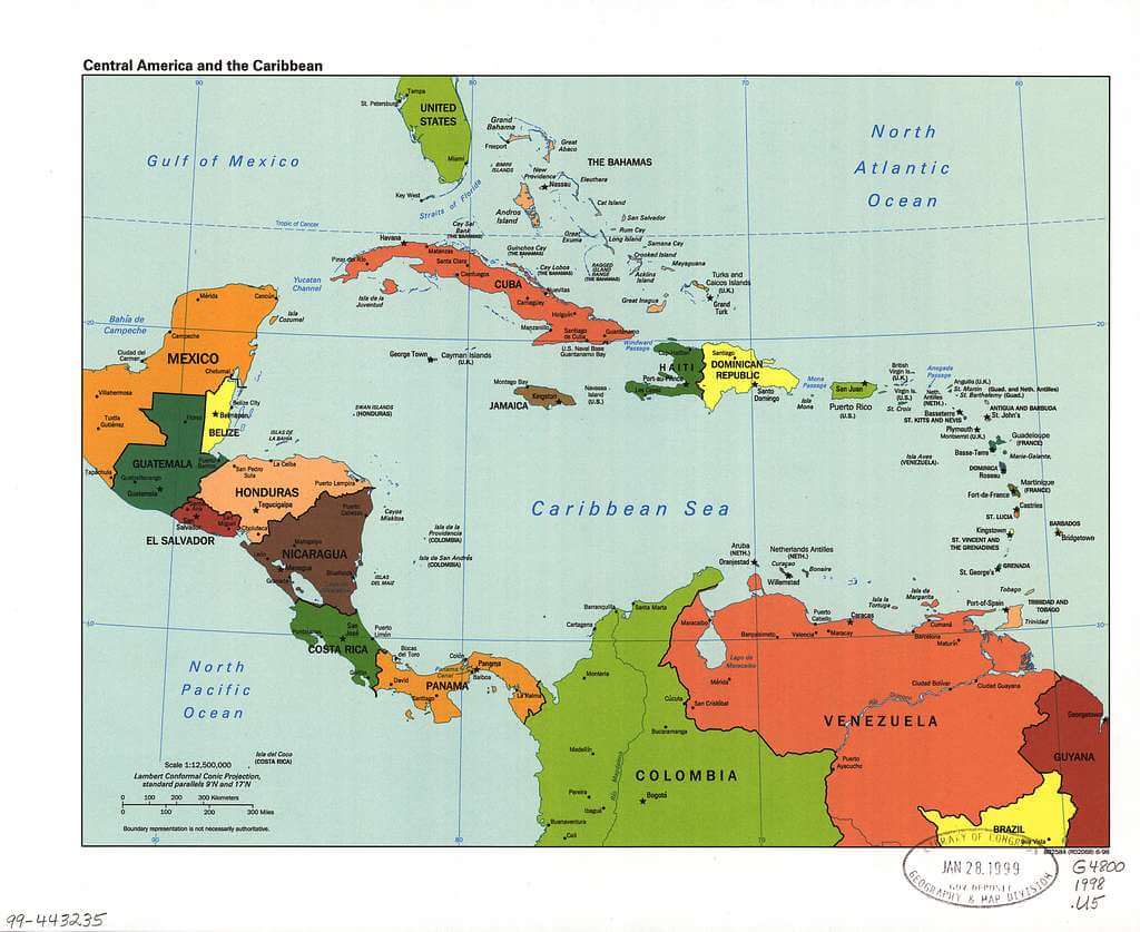
Political map of the Caribbean region.