Landforms of Bolivia

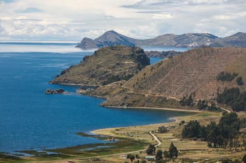
Lake Titicaca: Ancient Waters of the Andes

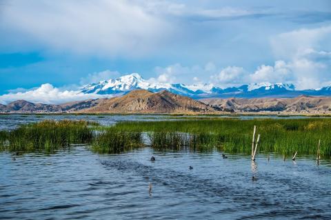
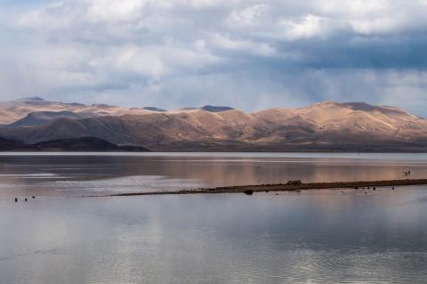
Lake Titicaca is one of the highest navigable lakes in the world. It is situated at the northern end of the Altiplano basin, on the border of Peru and Bolivia in the Andes Mountains. With a history dating back millions of years, Lake Titicaca is the largest lake in South America by volume and holds great cultural and ecological significance. The lake has always been an integral part of indigenous cultures and provides a habitat for a wide range of biodiversity, including over 530 aquatic species.

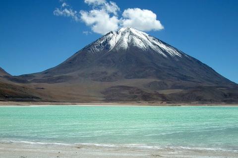
Licancabur Volcano: A Sacred Andean Colossus

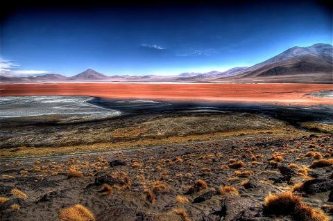
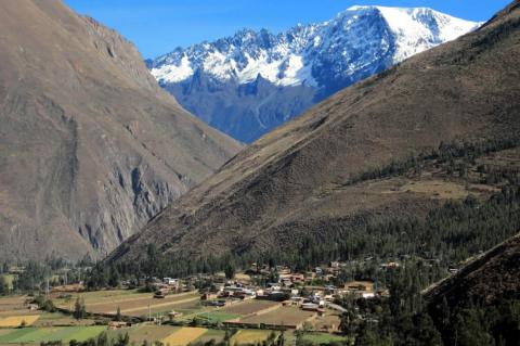
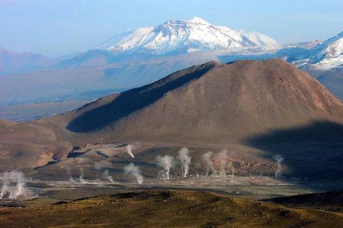
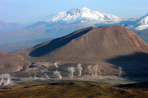
Towering above the arid landscapes of the Atacama Desert, where the borders of Bolivia and Chile converge, stands the majestic Licancabur Volcano. This imposing stratovolcano, with its symmetric cone, is a testament to the geological forces shaping the Andean landscape. Licancabur is a captivating natural wonder and a sacred site revered by the Atacameño people, who have long held it in high esteem. Beyond its cultural significance, this volcanic behemoth offers a unique glimpse into the region's geological history.

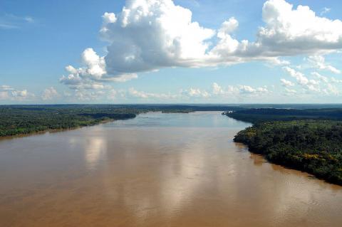
Madeira River: A Lifeline of the Amazon Basin

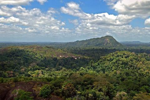
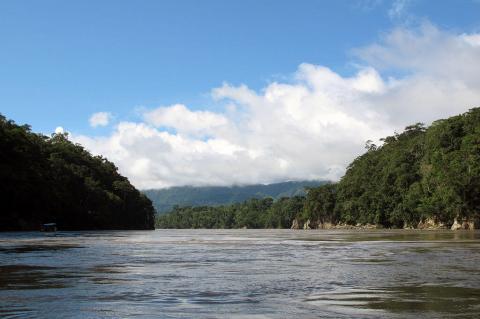
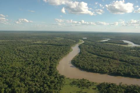
The Madeira River is one of South America's most significant waterways, playing a crucial role in the hydrology of the Amazon Basin. It is the largest and most important tributary of the Amazon River, making it a vital component of the region's ecosystem. Spanning Bolivia and Brazil, this mighty river traverses diverse landscapes and supports an array of flora and fauna, underscoring its importance as both a natural resource and a habitat.

Salar de Uyuni: A Mesmerizing Salt Expanse in the Heart of Bolivia

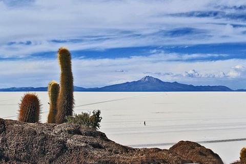
Located in the southwestern corner of Bolivia, the Salar de Uyuni is one of the most remarkable and captivating natural wonders on Earth. This salt flat is the largest in the world and is a testament to the incredible geological and climatic forces that have shaped the Andean region over millennia. The vast expanse of the Salar de Uyuni is home to Isla Incahuasi. This hilly and rocky outcrop was once a fully submerged island during the area's prehistoric lake period.

The Altiplano-Puna Volcanic Complex: Unveiling Geological Marvels in South America

The Altiplano-Puna Volcanic Complex spans Argentina, Bolivia, and Chile, shaped by the subduction of the Nazca Plate beneath the South American Plate. It boasts diverse volcanic features and is the largest active magma reservoir. Scientific exploration continues to unravel the region's geological history, revealing insights into subterranean processes.

The Andean Volcanic Belt and the Pacific Ring of Fire: Unveiling Earth's Geological Marvels

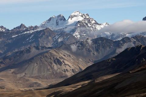
The Andean Volcanic Belt, along South America's western coast, forms as the Nazca and Antarctic plates subduct beneath the South American Plate. This process generates various volcanic zones, illustrating the intricate interplay of Earth's crustal plates. The belt showcases diverse geological phenomena, from the hazards in the Northern Volcanic Zone to the silicic systems in the Central Volcanic Zone and the glaciated stratovolcanoes in the Austral Volcanic Zone.

The Beni and Mamoré Rivers: Bolivia's Lifelines

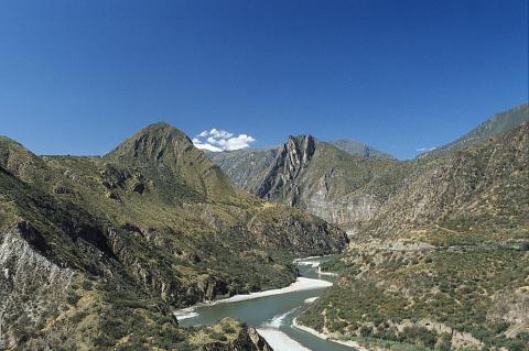
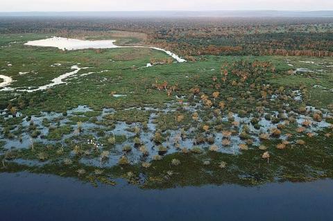
The Beni and Mamoré Rivers, coursing through the heart of Bolivia, are lifelines for both nature and civilization. They shape the landscape and provide sustenance to countless communities along their banks. From their origins in the rugged Andean slopes to their convergence into the mighty Madeira River at Bolivia's northeastern border, these rivers tell a story of resilience, biodiversity, and cultural richness.