
The Iguazú River: A Natural Wonder of South America
The Iguazú River, one of South America's most consequential waterways, flows roughly 1,320 km from Brazil's Serra do Mar to its confluence with the Paraná River at the tripoint of Argentina, Brazil, and Paraguay, with the famous falls occupying only its final few kilometers.


The Iguazú River: 1,320 Kilometers Before the Fall
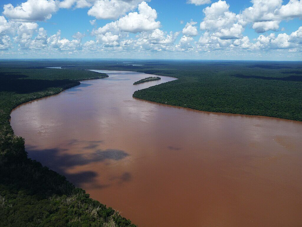
The Iguazú River is one of South America's most consequential waterways, not only for the world-famous falls that bear its name but for the long course it travels beforehand through the landscapes of Brazil and Argentina. Originating in the Serra do Mar coastal range, the river winds westward for well over a thousand kilometers, supporting diverse ecosystems and regional communities, before culminating in the dramatic cascades that make up Iguazú Falls.
Course and Tributaries
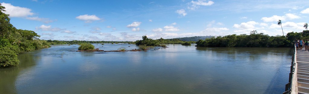
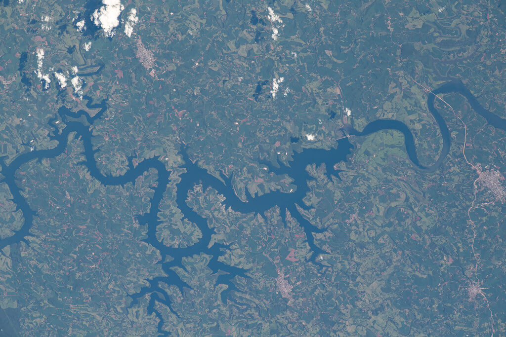
The Iguazú River originates in the Serra do Mar mountain range, in the Brazilian state of Paraná, not far inland from the Atlantic coast near the city of Curitiba. From its source, the river flows generally westward for about 1,320 km (820 mi), gathering volume from numerous tributaries, including the Santo Antônio, Benjamin Constant, and Capanema rivers, before forming part of the border between Brazil and Argentina along its lower course. For most of this journey, the river alternates between tranquil stretches and fast-moving rapids, a pattern that builds toward its final, most dramatic transformation as it approaches the edge of the Paraná Plateau.
The river's journey ends at the Paraná River, which it joins at the exact tripoint where the borders of Brazil, Argentina, and Paraguay converge, a geopolitically significant location often referred to as the Triple Frontier (Triple Frontera, or Tríplice Fronteira), near the cities of Puerto Iguazú, Foz do Iguaçu, and Ciudad del Este. The Iguazú is a tributary of the Paraná, which continues on to form part of the vast Paraná River basin, one of South America's largest drainage systems, carrying the Iguazú's waters onward through the massive reservoir of the Itaipu Dam, one of the largest hydroelectric facilities in the world, and ultimately to the Río de la Plata estuary.
Iguazú Falls
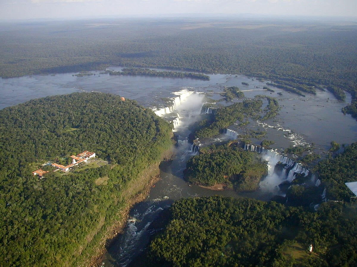
In its final few kilometers before reaching the Paraná, the Iguazú River tumbles over the edge of the Paraná Plateau, producing Iguazú Falls, among the largest and most spectacular waterfall systems on Earth. Depending on the river's flow, the falls divide into somewhere between 150 and 300 individual cascades spread across roughly 2.7 km (1.7 mi), with the Devil's Throat (Garganta del Diablo, or Garganta do Diabo) marking the point where nearly half the river's entire volume plunges through a single narrow chasm. The falls are protected on both banks as Iguazú National Park in Argentina and Iguaçu National Park in Brazil, a jointly recognized UNESCO World Heritage Site whose geology, biodiversity, and visitor experience are each covered in full in those two dedicated articles.
Hydrology and Seasonal Variation
As a major tributary of the Paraná River, Iguazú's flow follows a pronounced seasonal rhythm, with the highest water levels typically occurring between October and March as regional rainfall peaks. The falls look markedly different by season: the wet months bring a far more voluminous, thunderous spectacle, while the drier months between April and September can reduce individual cascades or leave them dry altogether.
Changes in regional precipitation patterns linked to broader climate variability have increasingly affected this rhythm. Severe droughts within the Paraná basin have at times dramatically reduced the Iguazú's flow, visibly diminishing the falls and affecting the wider river ecosystem, while unusually heavy rainfall can cause flooding that reshapes stretches of the riverbed and affects communities along its banks.
Economic Importance
The Iguazú River underpins a substantial regional economy, most visibly through tourism tied to the falls, which supports thousands of jobs across both countries in park management, guiding, hospitality, and transportation, alongside growing ecotourism initiatives aimed at keeping that economic benefit from coming at the expense of the surrounding ecosystem. While the falls themselves remain protected from damming, the wider river system contributes to regional agriculture, and the Iguazú's waters eventually pass through the Itaipu Dam on the Paraná, one of the largest hydroelectric power plants in the world, underscoring how a single river can serve both as an untouchable natural monument and as part of a much larger regional energy and water system.
Cultural and Indigenous Significance
The Iguazú River has deep cultural significance for the Indigenous Guaraní people, who have inhabited the region for centuries and whose language gave the river its name, from words meaning "great water." According to Guaraní legend, the falls were created by a serpent deity, M'Boi, enraged after the warrior Tarobá attempted to flee downriver by canoe with Naipí, a young woman M'Boi desired for himself; in his fury, the god split the riverbed open beneath them, creating the falls, and transformed Tarobá into a rock at the base of the cascades and Naipí into a palm tree overlooking them, condemned to gaze at each other forever without being able to touch.
Guaraní communities continue to live near the river today, maintaining traditional ways of life alongside growing involvement in cultural tourism and environmental stewardship, and both Argentine and Brazilian authorities have taken steps in recent years to support Indigenous land rights and incorporate Guaraní communities more directly into conservation planning for the river and the falls alike.
Conclusion
The Iguazú River is far more than the famous falls that mark its final descent: it is a waterway whose 1,320 km journey from the Serra do Mar to its confluence with the Paraná shapes landscapes, supports communities, and carries deep cultural meaning across two countries, long before its waters ever reach the edge of the Paraná Plateau. Continued cooperation between Argentina and Brazil, and attentiveness to the river's changing hydrology under a shifting climate, will determine whether this remarkable waterway continues to sustain both its ecosystems and the millions of people who depend on it.