
The Llanos: A Grassland Realm Forged by Water, Teeming with Life
The Llanos is a vast tropical grassland spanning Colombia and Venezuela, its seasonal floods governed by the Orinoco River, and its wildlife and human culture alike shaped by the same rhythm — home to the llanero cowboy tradition, the critically endangered Orinoco crocodile, and one of South America's richest concentrations of wetland birds.
The Llanos: Cowboys, Crocodiles, and a Landscape Ruled by Flood
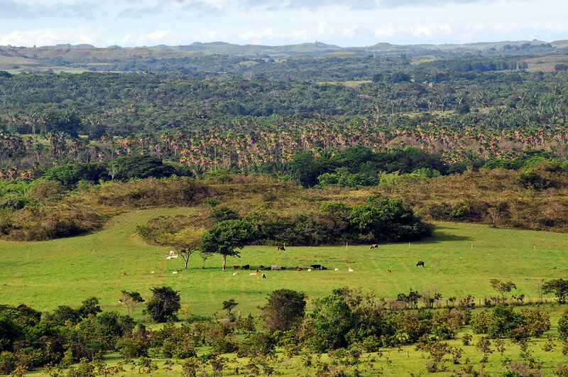
Stretching across the expansive lowlands east of the towering Andes Mountains in northwestern South America, the Llanos, also known as Los Llanos, emerge as a vast tropical grassland plain of remarkable ecological dynamism. Spanning much of Colombia and Venezuela, this ecoregion of seasonally flooded savannas and gallery forests offers a vivid portrait of natural grandeur shaped by the powerful Orinoco River system and dramatic shifts between wet and dry seasons. Covering an approximate area of 570,000 sq km (220,000 sq mi), the Llanos are a crucial biome, essential for regional hydrology and deeply tied to the cattle culture of both nations.
Geographical Genesis and Formation of the Plains
Spanning approximately 1,300 km (800 mi) in length, the Llanos occupy a strategic position in western Venezuela and northeastern Colombia, forming a vital link between the Andean highlands and the Guiana Shield. This extensive plain, dominated by a variety of savanna vegetation types, plays a pivotal role in the agricultural and economic landscapes of both Venezuela and Colombia, supporting significant cattle ranching and, increasingly, agrarian activities. Geologically relatively young, the Llanos began to form less than 10,000 years ago, emerging within a vast geosyncline, a geological depression situated between the ancient Guiana Plateau to the south and east and the imposing Andes Range to the north and west.
The geological narrative of the Llanos unfolds as sedimentation, carried by rivers originating from the adjacent highlands, gradually filled this extensive basin over geological time, drawing material from the weathering of the Precambrian Guiana Shield and the uplifted cordilleras during the Tertiary period. Subsequent periods of tectonic subsidence and uplift, coupled with the erosive and depositional power of the Orinoco River and its tributaries, molded the landscape into the distinctive combination of low-lying alluvial plains, slightly elevated terraces, and isolated remnants of older land surfaces that characterize the region today.
The Orinoco's Reign: River Systems and Defining Boundaries
The majestic Orinoco River, one of South America's largest and most significant watercourses, is the primary river system in the Llanos. It serves as a vital lifeline for the region's ecology and human populations and forms a significant natural border along a substantial portion of the boundary between Colombia and Venezuela. Numerous tributaries, including the Apure, Meta, Guaviare, and Arauca rivers, drain into the Orinoco, further shaping the landscape and contributing to the seasonal flooding that defines the character of the Llanos.
The geographical boundaries of the Llanos are clearly defined by the dramatic rise of the Andes Mountains to the north and west, the Guaviare River and the vast Amazon River Basin to the south, and the lower reaches of the Orinoco River and the ancient Guiana Highlands to the east.
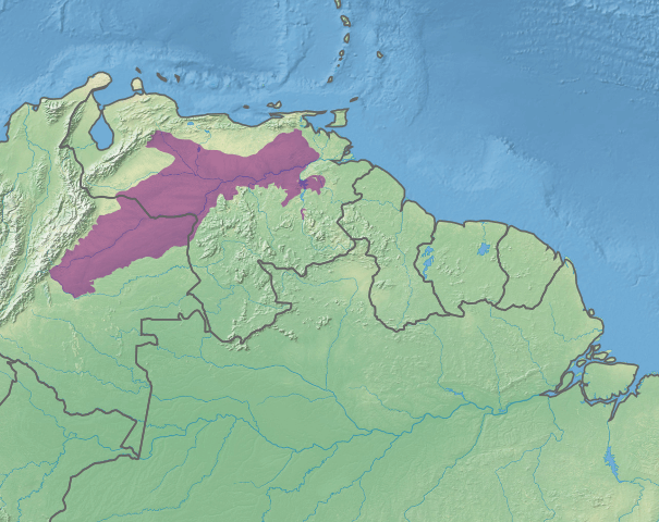
Map depicting the location of the Llanos ecoregion (in purple).
Topography and Subtle Variations in Elevation
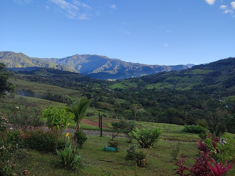
The Llanos ecoregion unfolds in a gentle northeastward curve, originating at the foothills of the Oriental Andes in Colombia and broadly following the meandering course of the Orinoco River towards its expansive delta on the Atlantic coast. Situated within a major geological depression, the towering Andes Mountains bound the Llanos to the west, while the Venezuelan coastal range forms a partial northern limit and the ancient, resistant Guiana Shield defines its southern extent.
Elevations within the region exhibit subtle variations, ranging from the low-lying, often seasonally inundated plains (Llanos Bajos) west of the Orinoco River to the slightly higher, better-drained terraces (Llanos Altos) situated closer to the Andean foothills. However, the overall relief remains relatively low, rarely exceeding 300 m (984 ft) above sea level, which contributes to widespread flooding during the wet season.
Climate and the Rhythmic Pulse of Wet and Dry
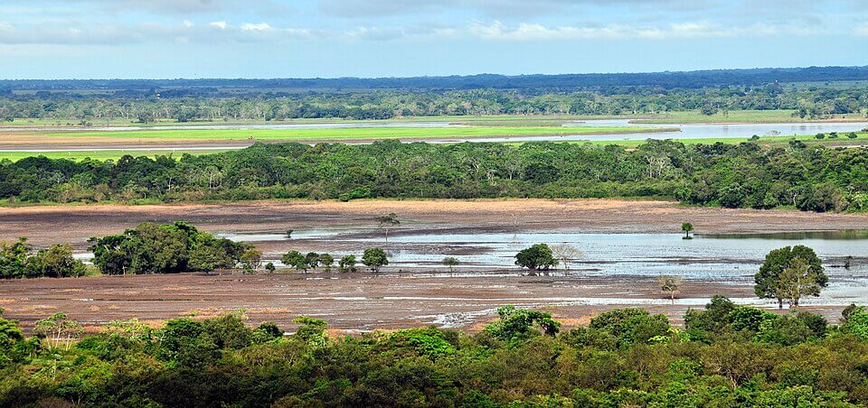
The Llanos experience a typical tropical savanna climate, characterized by consistently high temperatures throughout the year, with average temperatures often hovering around 27 to 30°C (80 to 86°F). The defining characteristic of this climate is the pronounced alternation between distinct wet and dry seasons. The rainy season, typically spanning from May to October, brings significant precipitation, often in the form of intense tropical downpours. During this period, the low-lying topography results in extensive seasonal flooding, transforming vast stretches of grasslands and woodlands into temporary wetlands and gallery forests that border the rivers.
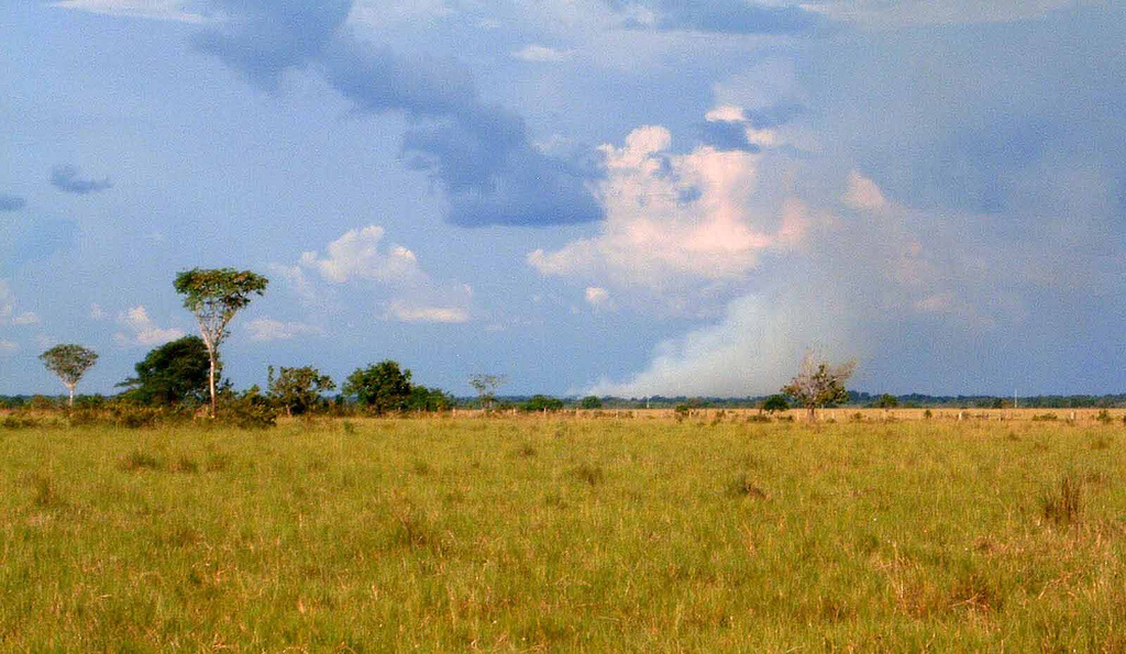
This dramatic inundation is a key ecological driver, shaping vegetation patterns and creating a unique and dynamic wildlife habitat that often draws comparisons to the Pantanal wetlands of central South America. The dry season, typically from November to April, is characterized by significantly reduced rainfall. This results in dry, parched landscapes and an increased risk of wildfires, which in turn affect both the vegetation and the behavior of the region's diverse fauna, concentrating animals of every kind around the shrinking waterholes and rivers that remain.
A Haven of Biodiversity: Life Adapted to the Flood Cycle
The Llanos are recognized as a significant haven for biodiversity, supporting a remarkable array of plant and animal life uniquely adapted to the dramatic seasonal fluctuations in water availability. The region is home to an estimated 70 species of water birds, including iconic and vibrantly colored species such as the scarlet ibis (Eudocimus ruber) and numerous species of herons, egrets, and storks that thrive in the flooded wetlands. Notably, the white-bearded flycatcher (Phelpsia inornata), the sole member of its genus and found nowhere outside the Llanos and a small adjoining stretch of Colombia, finds a significant portion of its entire global population within the region's open savannas and gallery forests.
The seasonal flooding transforms the area into a dynamic mosaic of aquatic and terrestrial ecosystems, drawing capybaras (Hydrochoerus hydrochaeris), the world's largest rodent, alongside jaguars (Panthera onca), giant anteaters (Myrmecophaga tridactyla), and Orinoco river dolphins (Inia geoffrensis humboldtiana), which move through flooded channels and gallery forest streams alike. Anacondas (Eunectes murinus) and the widespread spectacled caiman (Caiman crocodilus) share these waters with the critically endangered Orinoco crocodile (Crocodylus intermedius), among the largest living reptiles in the Americas and now restricted to only a handful of wild populations across the entire Orinoco basin after decades of hunting for its hide. The dry season concentrates wildlife around remaining water sources, creating spectacular opportunities to observe large congregations of animals, and private wildlife ranches such as Venezuela's Hato Piñero have become internationally known destinations for this kind of dry-season wildlife viewing.
The Llanero: Cattle, Horses, and a Culture Shaped by the Plains
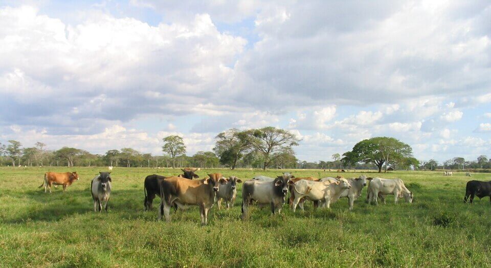
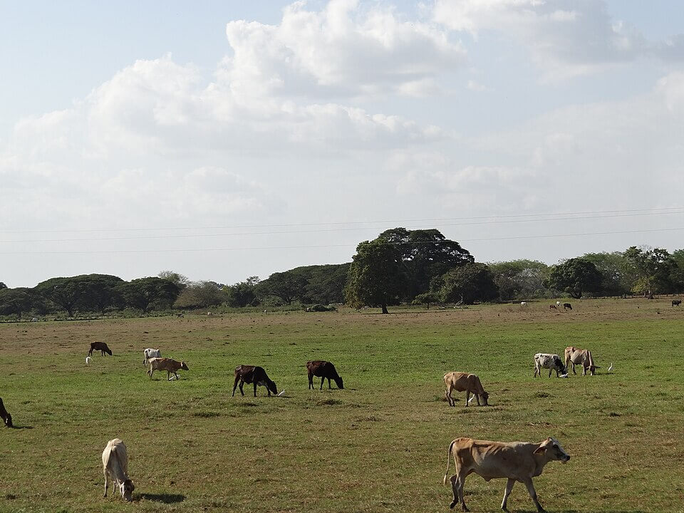
No account of the Llanos is complete without the llanero, the cattle-herding cowboy whose way of life has defined the region's human identity for over three centuries and remains a powerful symbol of national identity in both Venezuela and Colombia. Since the introduction of cattle by Spanish colonists in the 16th and 17th centuries, generations of llaneros have worked the vast, unfenced hatos, or ranches, that still dominate much of the region, developing a horseback culture built around herding, branding, and moving cattle across huge distances between wet-season and dry-season pasture.
This culture produced its own distinctive traditions: joropo, a fast, syncopated music and partner dance built around the harp, cuatro, and maracas, is the Llanos' most emblematic art form and has become closely tied to Venezuelan national identity. Coleo, a llanero sport in which riders on horseback pursue a running bull and grab its tail to topple it, remains a popular local pastime and a living link to the working techniques llaneros once used to manage semi-wild cattle across the open plains. Today, cattle ranching remains the dominant land use across much of the Llanos, alongside a growing rice, oil palm, and row-crop agriculture sector, particularly on the Colombian side of the region.
Conclusion
The Llanos are a vast and ecologically dynamic tropical grassland plain straddling Colombia and Venezuela, shaped by the powerful Orinoco River system and the pronounced rhythm of wet and dry seasons. Formed within a geological depression between the Andes and the Guiana Shield, this region exhibits subtle topographic variations that contribute to widespread seasonal flooding, transforming the landscape into a mosaic of savannas, gallery forests, and temporary wetlands, and supporting a rich array of waterbirds, mammals, reptiles, and fish uniquely adapted to fluctuating water levels. Beyond its ecological significance, the Llanos remain the heartland of llanero cattle culture and an important agricultural region for both nations, standing as a testament to the profound impact of water and of the people who have learned to live by its rhythm in shaping one of South America's great biomes.