Landforms of Peru

Lake Titicaca: Ancient Waters of the Andes

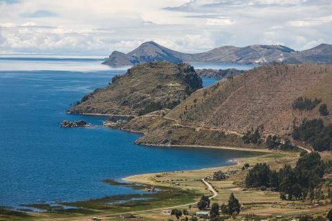
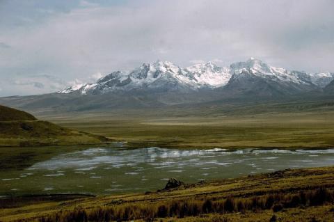
Lake Titicaca lies in the northern Altiplano, between Peru's Puno Region and Bolivia's La Paz Department, within the Central Andean wet puna. It covers 8,372 sq km and is the largest lake in South America by volume. It is often called the world's highest navigable lake, a title that refers to commercial vessels rather than altitude alone, and despite its elevation, it never freezes. The Andes that enclose the basin rise on both sides, and the lake itself occupies a tectonic depression.

Paracas National Reserve: A Coastal Desert Haven in Peru

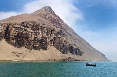
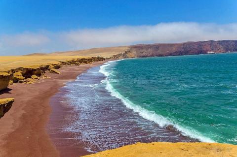
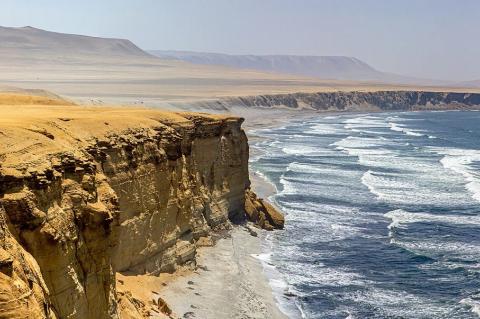
Paracas National Reserve is a unique protected area located in the Ica region of Peru, spanning coastal desert and marine ecosystems, making it a critical conservation area in South America. The reserve encompasses the Paracas Peninsula, Independence Bay, and surrounding desert regions, offering a rich mosaic of landscapes supporting diverse wildlife. In addition to its natural beauty, Paracas is steeped in archaeological history, with remnants of the ancient Paracas culture visible in the region. The combination of ecological significance and cultural heritage makes the Paracas National Reserve an exceptional destination.

Purus River: Lifeblood of the Southwestern Amazon

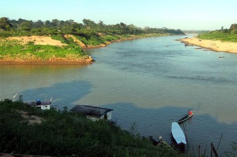
The Purus River is one of the Amazon Basin's significant tributaries, winding its way through the heart of the Amazon Rainforest. Originating in the Ucayali Basin in Peru, the river traverses a vast expanse of wilderness before merging with the Amazon River in Brazil. The Purus River's extensive basin is a vital hydrological and ecological feature of the Amazon, supporting diverse flora, fauna, and human communities.

The Andean Volcanic Belt and the Pacific Ring of Fire: Unveiling Earth's Geological Marvels

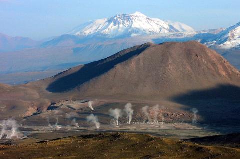
The Andean Volcanic Belt, along South America's western coast, forms as the Nazca and Antarctic plates subduct beneath the South American Plate. This process generates various volcanic zones, illustrating the intricate interplay of Earth's crustal plates. The belt showcases diverse geological phenomena, from the hazards in the Northern Volcanic Zone to the silicic systems in the Central Volcanic Zone and the glaciated stratovolcanoes in the Austral Volcanic Zone.

The Callejón de Huaylas: Peru's Valley of Eternal Snow

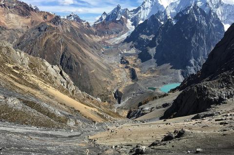
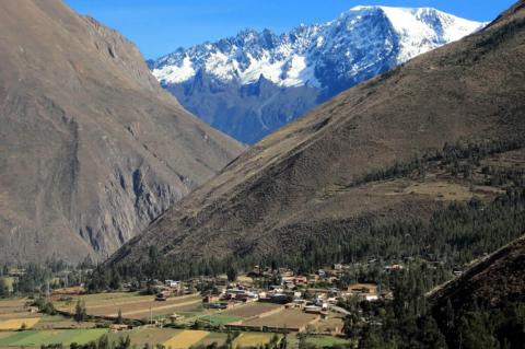
The Callejón de Huaylas is a spectacular inter-Andean valley in Peru's Ancash region, stretching from Laguna Conococha to Cañón del Pato. Positioned between the snow-capped Cordillera Blanca to the east and the darker Cordillera Negra to the west, this fertile valley follows the Santa River and supports diverse ecosystems across multiple altitudinal zones. Home to traditional agricultural communities cultivating potatoes, maize, and barley, the valley serves as the gateway to Huascarán National Park and world-class mountaineering destinations.

The Colca Canyon: Peru's Natural Wonder

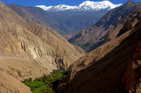
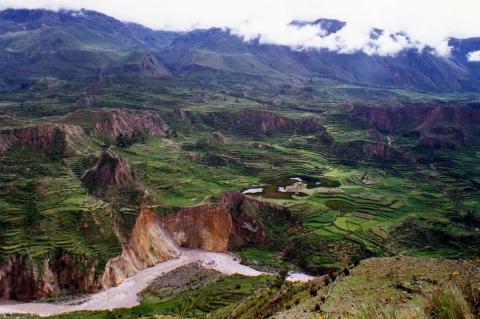
The Colca Canyon, twice as deep as the Grand Canyon and rivaled only by nearby Cotahuasi for the title of deepest in Peru, takes its name from the ancient qullqa storehouses of the Collagua and Cabana peoples, whose stone-walled agricultural terraces still feed the valley today and whose thermal-riding Andean condors have made this one of the best places on Earth to watch the world's largest flying bird.

The Cordillera del Cóndor: An Ecological and Cultural Gem at the Heart of the Andes

The Cordillera del Cóndor, located on the border between Ecuador and Peru, is a testament to the remarkable diversity of life on our planet. This mountain range, with its rugged peaks and verdant valleys, has captured the attention of scientists and conservationists. It is the ancestral home of the Shuar people and is surrounded by protected areas, offering a journey into one of the world's most biodiverse regions.

The Madeira River: From the Bolivian Lowlands to the Amazon

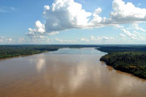
The Madeira River, formed by the Beni and Mamoré in Bolivia, travels about 1,450 km (900 mi) to the Amazon, or roughly 3,300 km (2,050 mi) counting the Mamoré. It drains about 1.38 million km² (533,000 mi²) of Bolivia, Brazil, and Peru, carries vast Andean sediment, and hosts one of the world’s richest fish faunas, now challenged by hydroelectric dams, drought, and illegal gold mining.

The Madre de Dios River: Peru’s Southern Amazon Artery

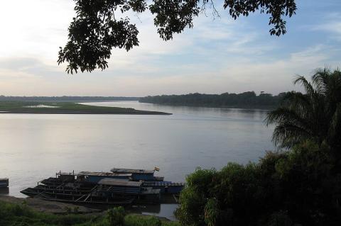
Rising in the eastern Andes of southern Peru, the Madre de Dios River runs roughly 1,100 to 1,350 km through some of Earth’s most biodiverse forests before joining the Beni in Bolivia, with the combined waters flowing on to the Madeira. Manú National Park, Tambopata National Reserve, and Bahuaja-Sonene National Park protect much of its course, and Ese Eja, Harakbut, Matsigenka, and Yine communities live along it. Puerto Maldonado is its main city, and rubber, a paved highway, and gold mining have reshaped its banks.

The Peru-Chile Trench: South America's Deepest Frontier and the Bolivian Orocline

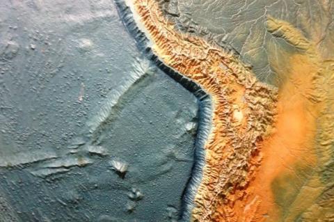
Along South America's western coast lies one of Earth's most spectacular geological features. The Peru-Chile Trench represents the deepest oceanic depression in the South Pacific and serves as the active collision zone where the Nazca Plate slides beneath the South American continent. This submarine canyon, intertwined with the dramatic coastal bend known as the Bolivian Orocline, tells a story of planetary-scale forces that continue to shape one of the world's most geologically active regions.