Chile

The Andean Volcanic Belt and the Pacific Ring of Fire: Unveiling Earth's Geological Marvels

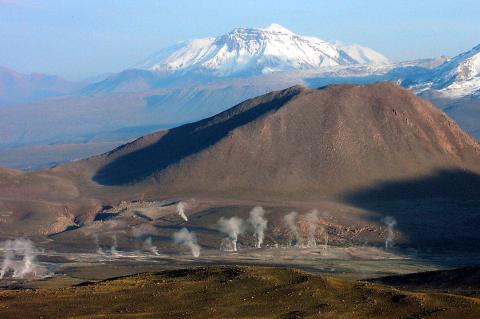
The Andean Volcanic Belt, along South America's western coast, forms as the Nazca and Antarctic plates subduct beneath the South American Plate. This process generates various volcanic zones, illustrating the intricate interplay of Earth's crustal plates. The belt showcases diverse geological phenomena, from the hazards in the Northern Volcanic Zone to the silicic systems in the Central Volcanic Zone and the glaciated stratovolcanoes in the Austral Volcanic Zone.

The Arid Diagonal: South America's Great Drylands

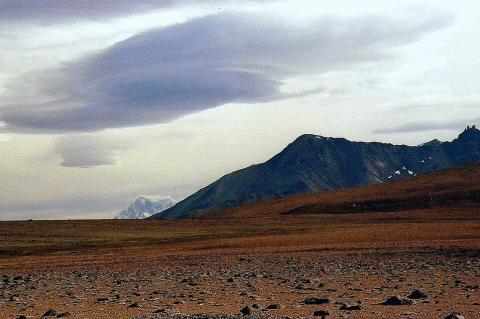
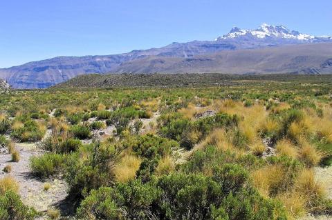
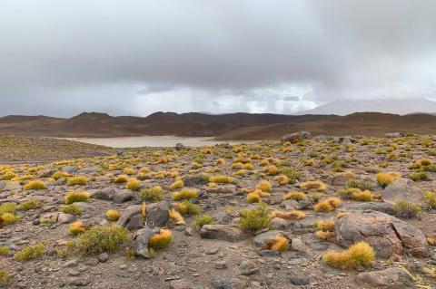
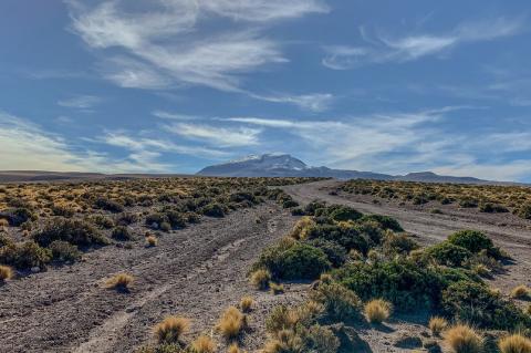
South America's Arid Diagonal is a vast belt of arid and semi-arid ecosystems extending from coastal Peru to southeastern Argentina and northeastern Brazil. The region encompasses diverse desert systems, including the hyperarid Atacama, the ENSO-influenced Sechura, the biodiverse Monte, the wind-swept Patagonian Desert, and the high-altitude Puna. Despite extreme aridity, the diagonal harbors remarkable biodiversity with high endemism levels, particularly in transition zones, though it faces conservation challenges from overgrazing, mining, agricultural expansion, and climate change.

The Arid Majesty of Chile's Norte Grande: A Land of Extremes and Resilience

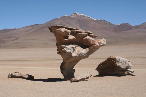
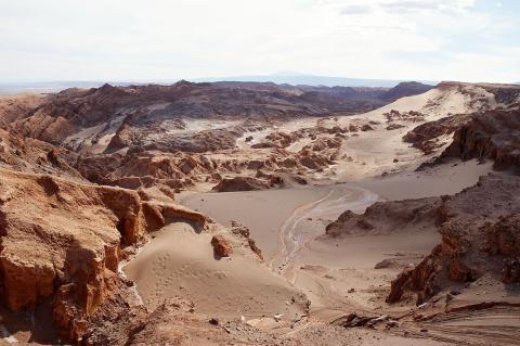
Chile's Norte Grande, the northernmost region stretching from the Peruvian border to the Copiapó River, showcases the raw power and stark beauty of extreme aridity. This area, home to the Atacama Desert, one of the driest places on Earth, features a landscape shaped by relentless sun, minimal rainfall, and dramatic geological forces. However, within this inhospitable environment lies a unique tapestry of adapted life, captivating geological features, and a rich history defined by the struggle for existence in a land of striking contrasts.

The Atacama Region of Chile: Land of Extremes and Opportunities

The Atacama Region, known in Spanish as the Región de Atacama, stands as one of Chile's most distinctive and economically significant administrative divisions. Located in the northern part of the country, this region encompasses some of the world's most extreme landscapes while serving as a cornerstone of Chile's mining industry and a gateway to understanding the delicate balance between natural resource exploitation and environmental preservation.

The Chile Triple Junction and the Dynamic Taitao and Tres Montes Peninsulas

The Chile Triple Junction marks where the South American, Nazca, and Antarctic tectonic plates meet, with subduction and divergence. The Taitao Peninsula, extending westward, features diverse landscapes and significant ecological importance. The Tres Montes Peninsula, southwest of the main peninsula, adds unique vegetation and geological features. Together, they tell a captivating story of tectonic convergence, showcasing the Earth's ever-evolving geological saga.

The Chilean and Argentine Andes: One Border, Two Climates

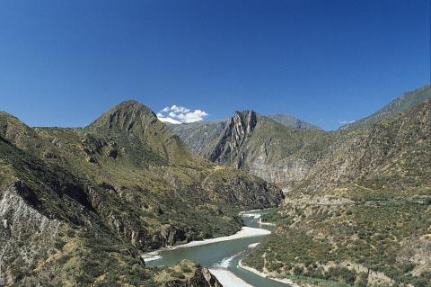
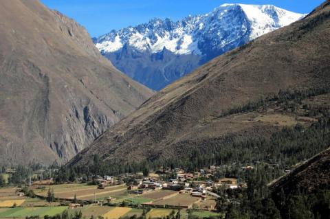
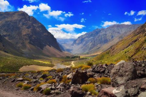
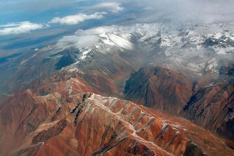
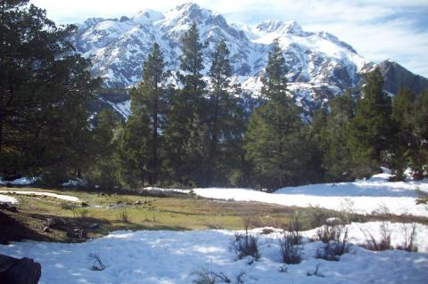
Stretching like a mighty spine along the western edge of South America, the Andes Mountain Range stands as a towering testament to nature's grandeur and complexity. At its heart lies the Chilean and Argentine Andes, where the border between these two nations runs for roughly 5,300 km (3,300 mi)—the longest international mountain border in the world—defined by soaring peaks, glacial valleys, and landscapes that shift from arid desolation in the north to lush, glaciated splendor in the south.

The Chilean Coastal Range and Central Valley: Chile's Geographic Foundation

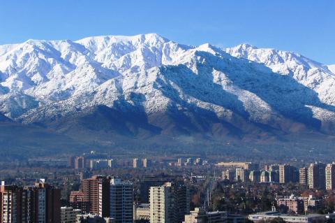
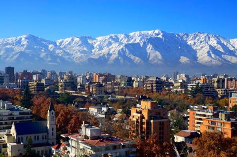
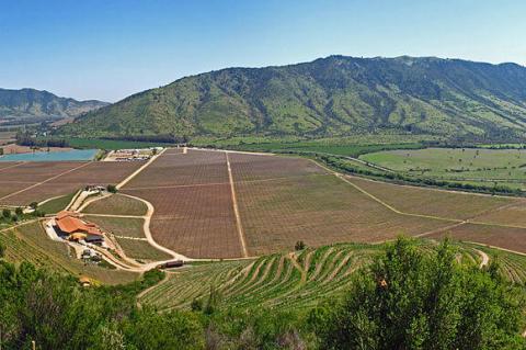
The Chilean Coastal Range and Central Valley form two distinctive features that run parallel along Chile's length, shaping its climate, agriculture, and urban life. The Coastal Range rises as a barrier between the Pacific Ocean and the interior, while the Central Valley lies between these coastal mountains and the Andes, forming Chile's fertile and populated corridor. Together with the Andes, they record the subduction of the Nazca Plate beneath South America, and they define where rain falls, where forests grow, where crops flourish, and where cities rise.

The Churches of Chiloé: Enduring Sanctuaries of Faith, Culture, and Architectural Ingenuity

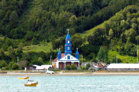
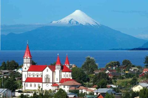
Amidst the breathtaking natural splendor of the Chiloé Archipelago, a remarkable ensemble of churches stands as a testament to the harmonious fusion of Indigenous traditions and Spanish colonial influences. The Churches of Chiloé, numbering around 70 structures scattered across the islands, are more than mere religious edifices; they are living embodiments of the region's rich cultural heritage, architectural ingenuity, and unwavering faith – a fusion of spirituality and artistic expression that has endured for centuries.

The Corredor Biológico Nevados de Chillán - Laguna del Laja: A Sanctuary of Biodiversity at the Gateway to Patagonia

In the heart of Chile's south-central Andes, where the temperate forests begin their transition toward the wilds of Patagonia, lies one of South America's most significant conservation achievements: the Corredor Biológico Nevados de Chillán - Laguna del Laja. This UNESCO Biosphere Reserve represents a triumph of ecological connectivity by linking diverse ecosystems across a landscape of extraordinary biological and geological importance. This expansive biological corridor serves as a critical refuge for endangered species and demonstrates innovative approaches to landscape-scale conservation.

The Enchanting Elqui Valley and Historic Pisco Elqui

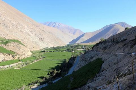
The Elqui Valley, nestled in northern Chile, is a picturesque region that captures the essence of natural beauty and agricultural richness. This valley is renowned for its stunning landscapes, bright sunshine, pure air, and clear skies. The Elqui Valley is recognized as northern Chile's most commercially viable wine-producing region, and its skies have made it one of the most important places on Earth for observational astronomy.