Landforms of South America

The Tapajós River: A Lifeline in the Heart of the Amazon

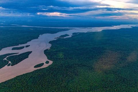
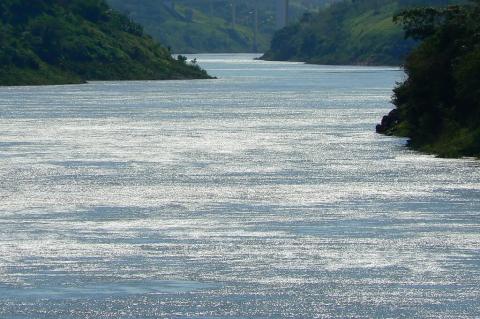
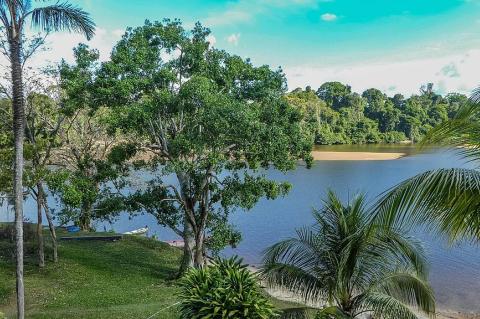
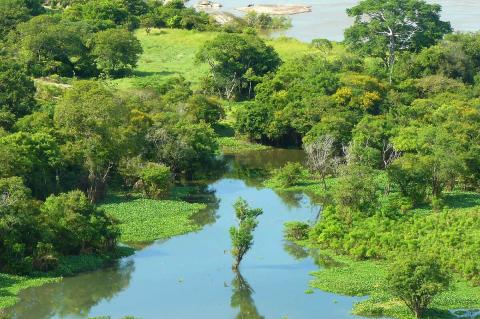
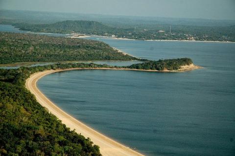
The Tapajós River, one of the major tributaries of the Amazon River, is a vital watercourse in Brazil, flowing predominantly north/northeast through the Amazon Rainforest. It is formed by the union of the Juruena and Teles Pires rivers, both of which originate in the Mato Grosso region. Known as one of the largest clearwater rivers in the world, the Tapajós plays a crucial role in the hydrology, ecology, and economy of the Amazon Basin.

The Twin Jewels of the Caribbean: Exploring the Gulfs of Darién and Urabá

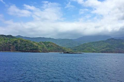
Nestled between the Caribbean Sea and the dense tropical rainforests of Central and South America lie two lesser-known yet profoundly significant bodies of water: the Gulf of Darién and the Gulf of Urabá. These gulfs, often overshadowed by their more famous regional counterparts, are geographical and ecological treasures. Within their boundaries, they hold a rich tapestry of history, vibrant ecosystems, and socio-economic dynamics that have shaped the lives of the communities around them for centuries.
The Uruguay River: A Vital Waterway of South America

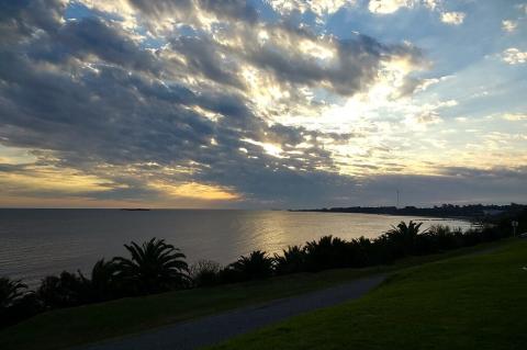
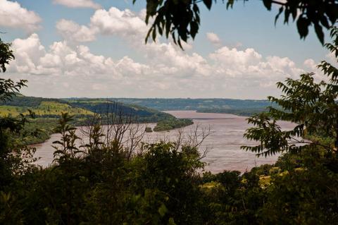
The Uruguay River is a significant fluvial system in South America. It stretches from its headwaters in Brazil's coastal range to its confluence with the Río de la Plata. As a natural boundary between Brazil, Uruguay, and Argentina, the river plays a crucial role in the region's geography, economy, and ecology. An exploration of the Uruguay River reveals its origins, course through diverse landscapes, ecological significance, and role in regional development.

The Venezuelan Andes: A Jewel of the Tropical Andes

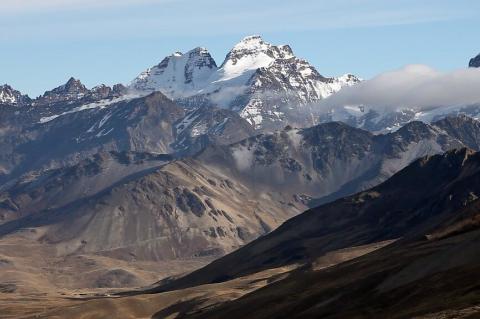
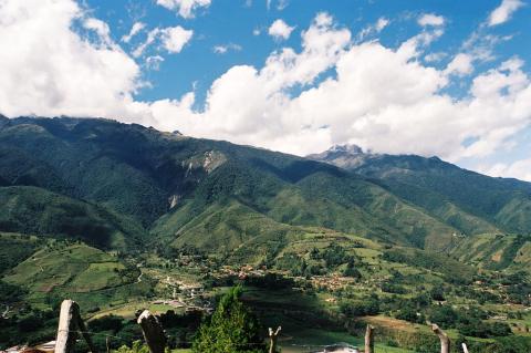
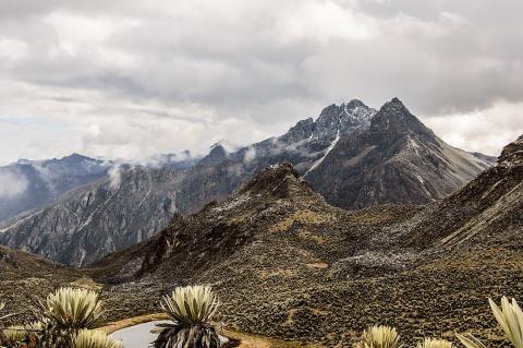
The Venezuelan Andes, also known as the Venezuelan Andean Cordillera, represent the northernmost extension of the Andes Mountain range, the point where South America's great mountain system first rises from the Caribbean coastal lowlands. This region is vital to Venezuela's natural and geographic landscape, offering a rich tapestry of ecological diversity, geological significance, and cultural heritage.

The Venezuelan Coastal Range: A Barrier of Biodiversity and Culture

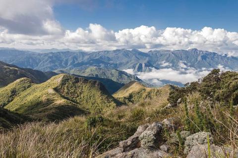
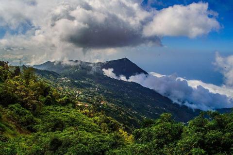
Stretching along Venezuela's northern coast, the Venezuelan Coastal Range, known locally as the Cordillera de la Costa, forms a natural boundary between the Caribbean Sea and the northern plains. Extending from Sucre in the east to Zulia in the west, this mountain range is more than just a physical barrier—it is a region of rich biodiversity, deep cultural history, and significant economic importance.

The Vibrant Heart of Colombia: Serranía de la Macarena National Natural Park and Caño Cristales

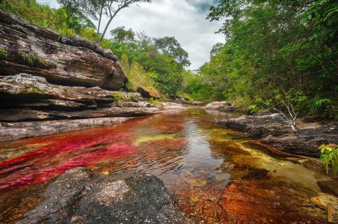
Nestled within the Colombian Andes, the Serranía de la Macarena National Natural Park and the breathtaking Caño Cristales River, often called the "River of Five Colors" or the "Liquid Rainbow," are testaments to Colombia's natural beauty and ecological diversity. These areas in the Meta department offer visitors a unique glimpse into the region's geological wonders, rich biodiversity, and vibrant ecosystems.

Tierra del Fuego: Archipelago of Fire and Ice

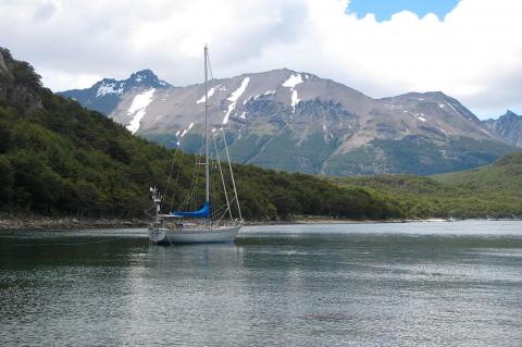
At the southernmost extremity of South America, where the continent fragments into a thousand islands scattered across tempestuous seas, lies Tierra del Fuego, the "Land of Fire." Ferdinand Magellan, the Portuguese explorer who first glimpsed these shores in 1520, named the archipelago after witnessing the countless fires lit by Indigenous peoples along the coastline. Five centuries later, the region remains one of the most sparsely populated and geologically dynamic corners of the continent.

Tocantins-Araguaia River System: A Comprehensive Overview of Brazil's Central Fluvial Network

The Tocantins-Araguaia River system in central Brazil is one of the country's most vital and extensive fluvial networks. Though commonly mistaken as a tributary of the Amazon River, this system is distinct and unique, with its complex hydrological dynamics and significant ecological importance. The river flows northward from the Brazilian Highlands, eventually emptying into the Atlantic Ocean through the Pará River, a distributary channel of the Amazon River delta.

Todos os Santos Bay: Bahia's Island-Studded Inland Sea

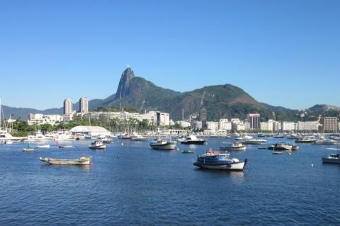
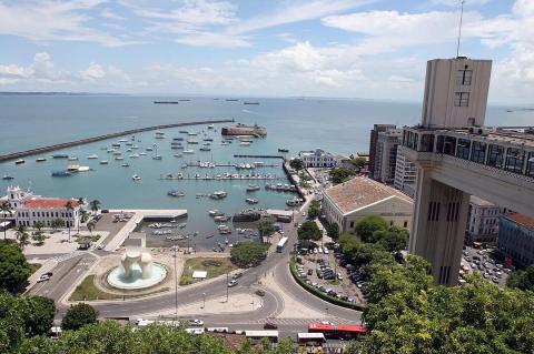
Nestled along Brazil's eastern coast, Todos os Santos Bay, also known as All Saints Bay, is a captivating natural harbor that has played a pivotal role in the region's history and development. As Brazil's largest bay, it surrounds the vibrant city of Salvador de Bahia, the capital of the state of Bahia. It serves as both a geographical landmark and a cultural icon. With deep historical roots and rich ecological diversity, this expansive bay remains a central feature of Bahia's coastal landscape.

Torres del Paine: A Breathtaking Journey Through Patagonia's Iconic Wilderness

Deep within the heart of Chilean Patagonia, where the mighty Andes Mountains converge with the vast Patagonian Steppe, lies a realm of unparalleled natural beauty – Torres del Paine National Park. This breathtaking expanse of rugged peaks, glaciers, lakes, and rivers is undoubtedly one of the world's most iconic wilderness areas. The Cordillera del Paine stands at its core, a majestic mountain range that rises sharply above the surrounding terrain.