South America

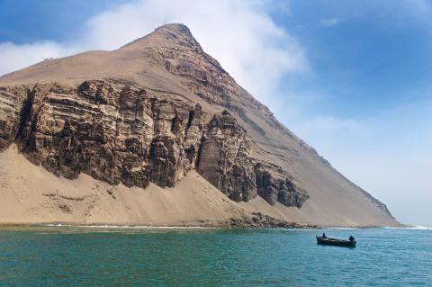
The Tumbes-Piura Dry Forests: A Biodiversity Hotspot within the Tumbes-Chocó-Magdalena Region

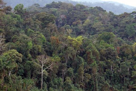
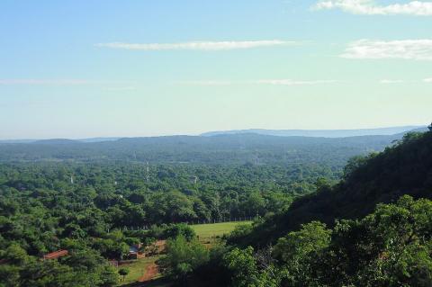
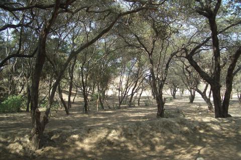
The Tumbes-Piura dry forests ecoregion is nestled along the Pacific coast of northwestern Peru and southwestern Ecuador. This unique and remarkable ecosystem is part of the larger Tumbes-Chocó-Magdalena biodiversity hotspot. This ecoregion, often overshadowed by the more well-known tropical rainforests of the Amazon basin, is a biodiversity hotspot in its own right, harboring an exceptional concentration of endemic species and facing significant conservation challenges.
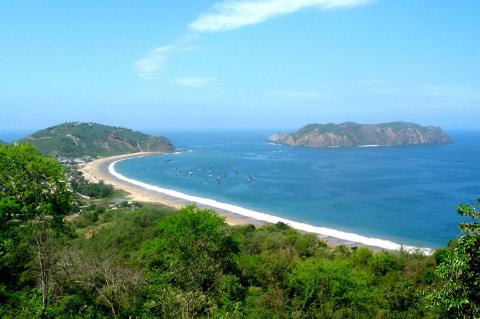
The Twin Jewels of the Caribbean: Exploring the Gulfs of Darién and Urabá

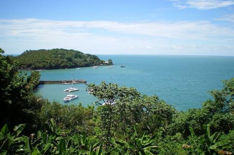
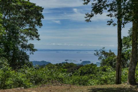
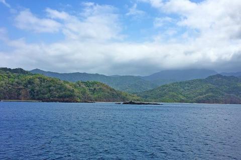
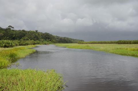
Nestled between the Caribbean Sea and the dense tropical rainforests of Central and South America lie two lesser-known yet profoundly significant bodies of water: the Gulf of Darién and the Gulf of Urabá. These gulfs, often overshadowed by their more famous regional counterparts, are geographical and ecological treasures. Within their boundaries, they hold a rich tapestry of history, vibrant ecosystems, and socio-economic dynamics that have shaped the lives of the communities around them for centuries.
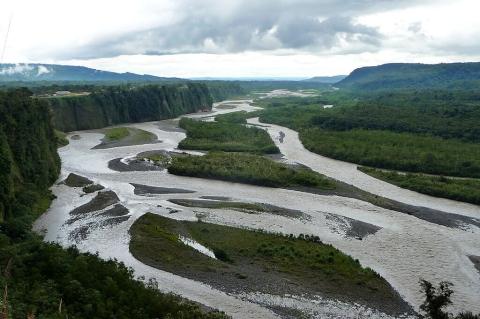
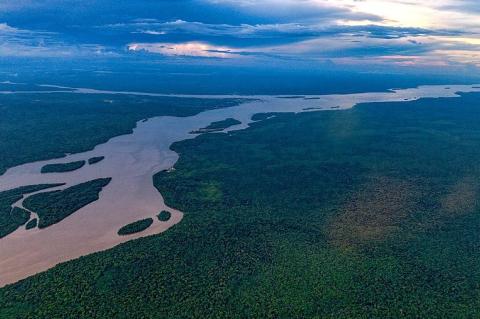
The Ucayali River: A Vital Amazonian Artery of Peru

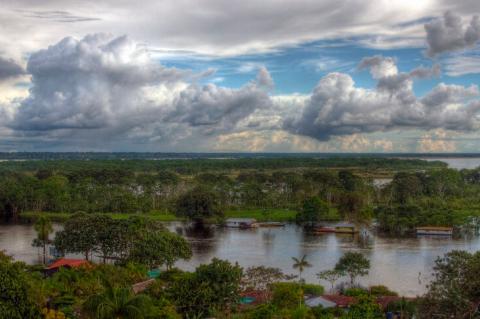
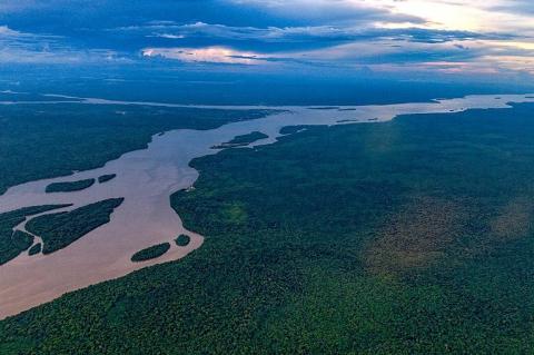
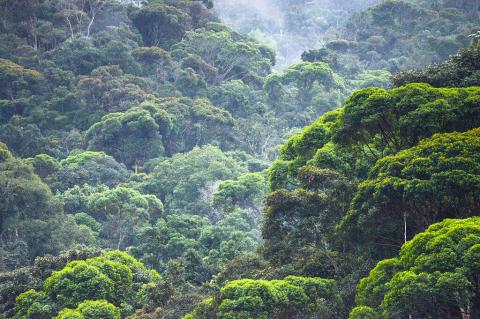
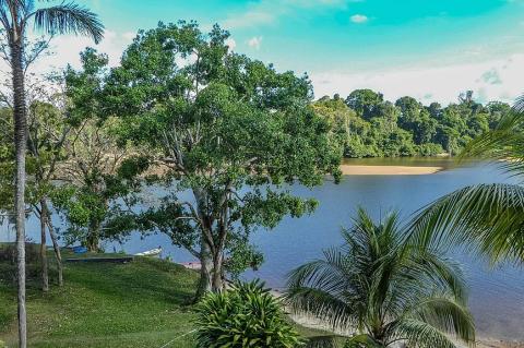
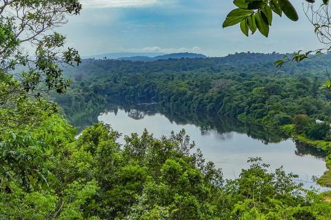
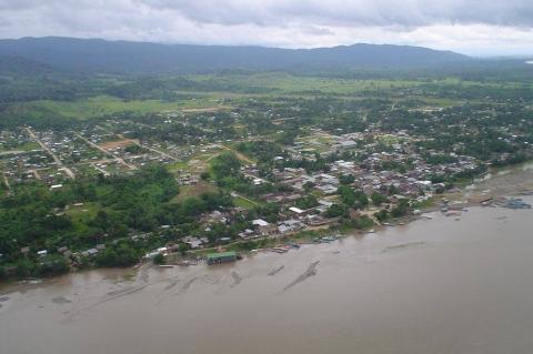
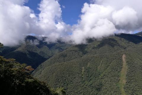
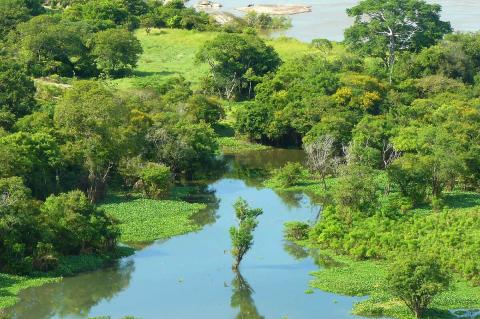
The Ucayali River flows through the heart of the Peruvian Amazon, winding its way through dense rainforests and remote communities. As one of the primary headwaters of the Amazon River, the Ucayali plays a critical role in South America's ecosystems, shaping the landscapes and providing a lifeline for wildlife and people alike. From its highland origins to its convergence with the Marañón River, where the Amazon River is officially born, the Ucayali River supports unique biodiversity, Indigenous cultures, and ongoing economic activity.

The Urubamba River: Sacred Waters from Andes to Amazon

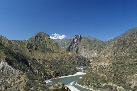
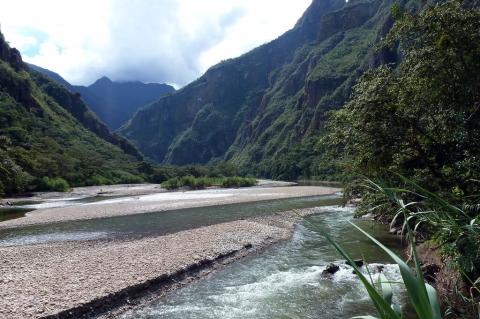
The Urubamba River, known as Willkamayu ("Sacred River") to the Incas, flows from its glacial origins in the Cordillera Vilcanota to its confluence with the Tambo River in Peru's Amazon Basin. This vital waterway traverses multiple ecological zones, supporting a diverse array of ecosystems. The river's cultural significance extends beyond its role as the Sacred Valley's agricultural lifeline—it remains central to Quechua spiritual practices and serves as the transportation corridor that enabled Inca imperial expansion while continuing to sustain Indigenous communities.

The Urubamba Valley: Sacred Heart of the Inca Empire

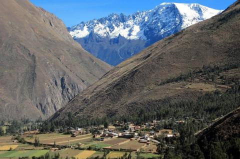
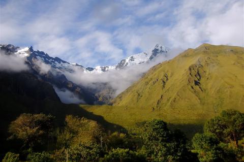
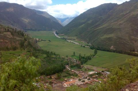
The Urubamba Valley, or Sacred Valley of the Incas, extends 100 km through Peru's Andes at 2,050-3,700 meters altitude. This fertile land, shaped by the Urubamba River and sacred to Inca cosmology, hosts key archaeological sites such as Machu Picchu, Ollantaytambo, and Pisac. Quechua communities preserve ancient agriculture on terraced slopes where native species like Polylepis trees and Vicugna vicugna thrive. Sustainable tourism supports preservation and economic growth in this UNESCO World Heritage site.

The Uruguay River: A Vital Waterway of South America

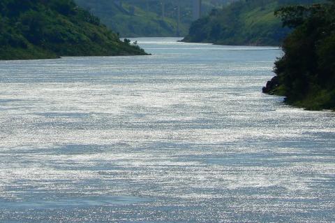
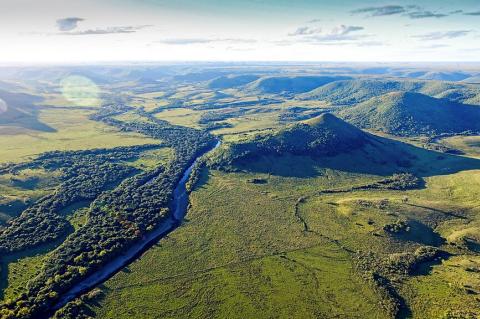
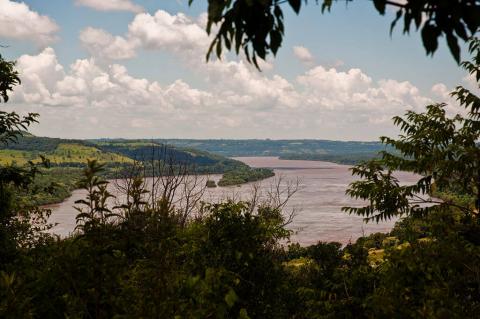
The Uruguay River is a significant fluvial system in South America. It stretches from its headwaters in Brazil's coastal range to its confluence with the Río de la Plata. As a natural boundary between Brazil, Uruguay, and Argentina, the river plays a crucial role in the region's geography, economy, and ecology. An exploration of the Uruguay River reveals its origins, course through diverse landscapes, ecological significance, and role in regional development.

The Venezuelan Andes: A Jewel of the Tropical Andes

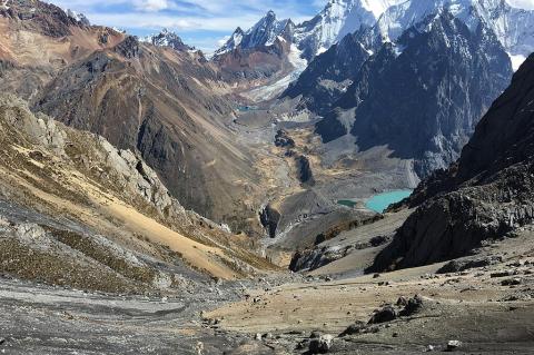
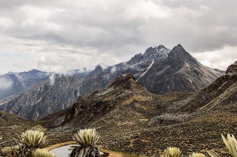
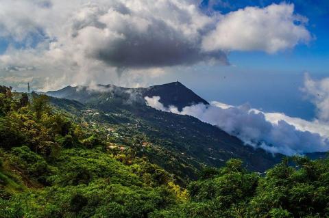
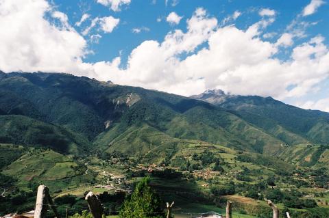
The Venezuelan Andes, also known as the Venezuelan Andean Cordillera, represent the northernmost extension of the Andes Mountain range, the point where South America's great mountain system first rises from the Caribbean coastal lowlands. This region is vital to Venezuela's natural and geographic landscape, offering a rich tapestry of ecological diversity, geological significance, and cultural heritage.

The Venezuelan Coastal Range: A Barrier of Biodiversity and Culture

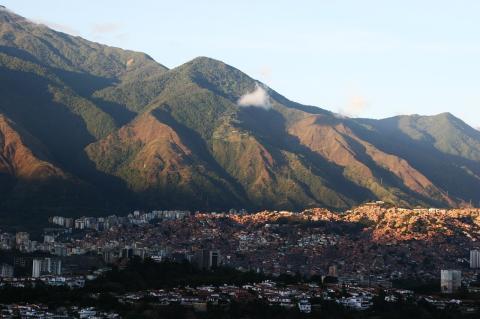
Stretching along Venezuela's northern coast, the Venezuelan Coastal Range, known locally as the Cordillera de la Costa, forms a natural boundary between the Caribbean Sea and the country's northern plains. Extending from Sucre in the east to Zulia in the west, this mountain range is more than just a physical barrier—it is a region of rich biodiversity, deep cultural history, and significant economic importance. Though sometimes called the Maritime Andes, it is a distinct geological formation with unique characteristics.

The Vibrant Heart of Colombia: Serranía de la Macarena National Natural Park and Caño Cristales

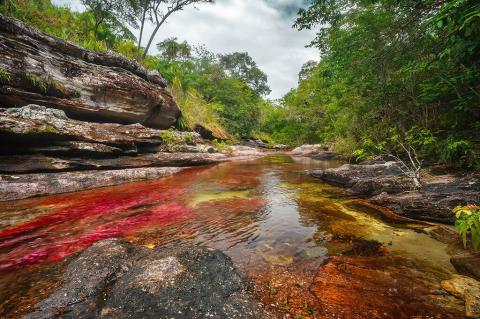
Nestled within the Colombian Andes, the Serranía de la Macarena National Natural Park and the breathtaking Caño Cristales River, often called the "River of Five Colors" or the "Liquid Rainbow," are testaments to Colombia's natural beauty and ecological diversity. These areas in the Meta department offer visitors a unique glimpse into the region's geological wonders, rich biodiversity, and vibrant ecosystems.

The Wild Frontier: Exploring Chile's Zona Austral

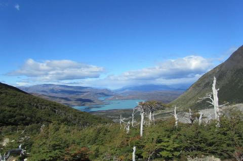
Chile's Zona Austral, the "Far South," encompasses the vast and sparsely populated territory stretching south from the Guaitecas Archipelago to the legendary Cape Horn, representing the country's final frontier towards Antarctica. As the southernmost of its five distinct natural regions, this zone is characterized by a cold, wet climate, dramatic glaciated landscapes, rugged coastlines with intricate fjords and numerous islands, and subpolar conditions in its southernmost reaches.